





12 Sept 2023
EnglandAre all the long distance paths clearly waymarked, or are map reading skills required?

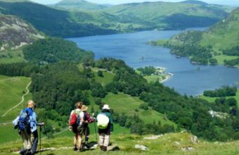
It’s a country without true wilderness. The national parks are well policed and monitored, and trails across farmland are often very long standing. Some trails follow paths that are thousands of years old.
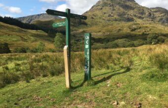
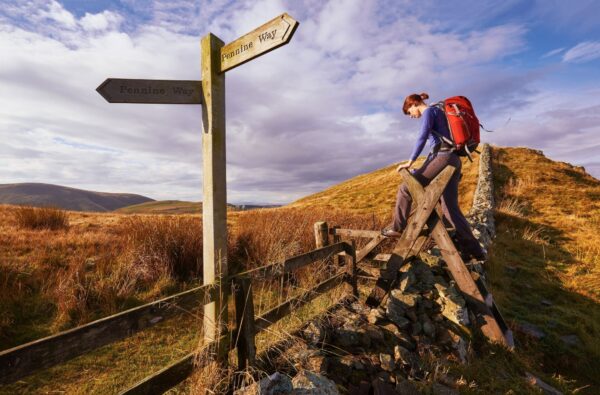
This means English trails are usually easy to follow. There are plenty of major, well-maintained and signed routes. There will always be some missing posts, confusing directions and momentary aberrations but I generally find the biggest problem comes when there are too many good paths criss-crossing an area.
For example I worried about following the mish-mash of paths along the Malvern Hills before I realised it doesn’t really matter, they all roughly end up doing the same thing.
A bit of map reading competence is a useful safeguard of course, and in a varied landscape like England’s it can increase the pleasure to see there’s an ancient church in the next village or hidden valley just beyond the ridge.
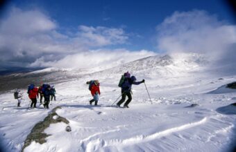
What about a compass? I suppose that’s going to help in a white-out on Scafell Pike but I can’t recall ever using one on an English walk.
Another personal aside here: generally I try to banish fear of ‘getting lost’ on what are mostly harmless English routes. Maybe you don’t want to be clueless on a mountain after dark but for most English walks a bit of being “lost” can be the best bit of the day.
I took a daft detour from a normal route recently in the Cotswolds. I spontaneously turned off the path because it looked so pretty to the west and the view was amazing. I thought I would loop back to the main path but of course I was wrong and found myself in a run-down piggery, ankle deep in mud and had to clamber through barbed wire down onto a busy roadside verge to escape. Disaster or highlight? Well, here I am talking about it and it’s the only bit of that walk that I’ve ended up writing about.
Simon Heptinstall
Simon is a TV writer turned travel journalist and photographer who specialises in walking and hiking holidays in the United Kingdom, Europe and beyond. He writes on walking holidays in England for the Wall Street Journal, The Guardian, The Daily Mail, among others.




Related questions
The United Kingdom specialists