The Caucasus
Where Asia meets Europe
Stretching from the Black Sea in the west to the Caspian Sea in the east, the Caucasus region takes in Armenia, Azerbaijan and Georgia, alongside the Russian republics of Chechnya, North Ossetia and Dagestan.
The bridge between Asia and Europe, Islam and Christianity, adventurous visitors come to the Caucasus countries for hiking through deep gorges and over mountain passes, incredible religious architecture and fine Georgian wine.
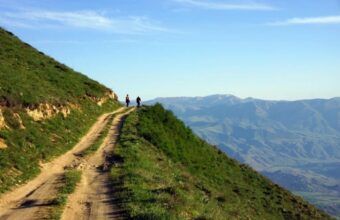
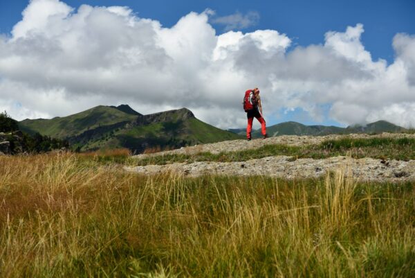
Hiking in the Caucasus
An expert guide to the best treks and hikes in the Caucasus mountains
With epic mountain landscapes that rival anywhere in Europe, fairytale villages, rolling hills and some truly excellent cuisine, the Caucasus mountains are one of the world's best – and most underrated – trekking and hiking destinations. The Caucasus' trekking industry revolves mostly around Armenia and Georgia. Both countries are well set up for hiking tourism, have some stunning walking country and are well prepared for visitors...read more


18 days
Armenia, Georgia and Azerbaijan hiking
Hike ancient forests, mountain lakes and waterfalls
11 days
Armenia and Georgia Hiking Itinerary
11-day hiking trip through picture-perfect mountain trails


21 days
Overlanding through the Caucasus
Travel beyond the ordinary in Azerbaijan, Armenia and Georgia
-
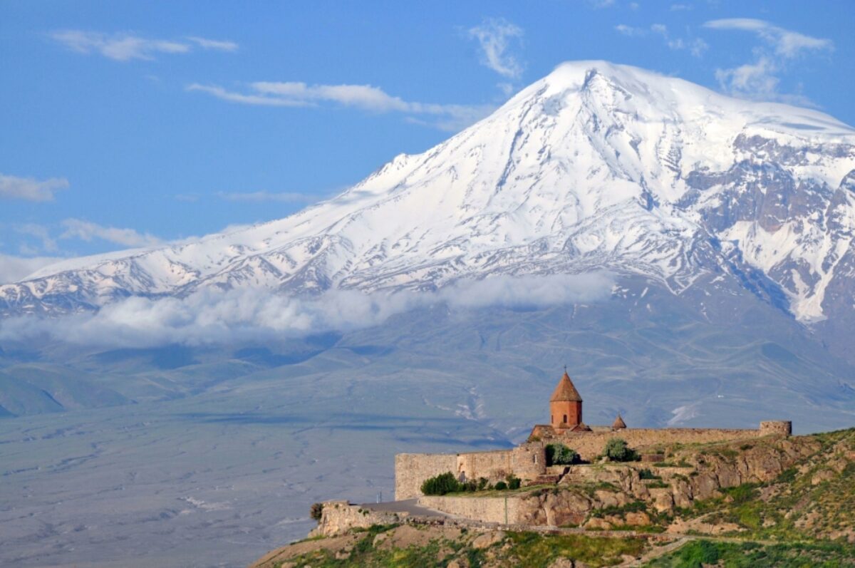
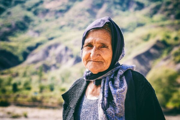
Armenia
Medieval monasteries and forest hikes
One of Christianity’s earliest civilisations, Armenia’s historic churches and monasteries date back as far as the 4th century... -
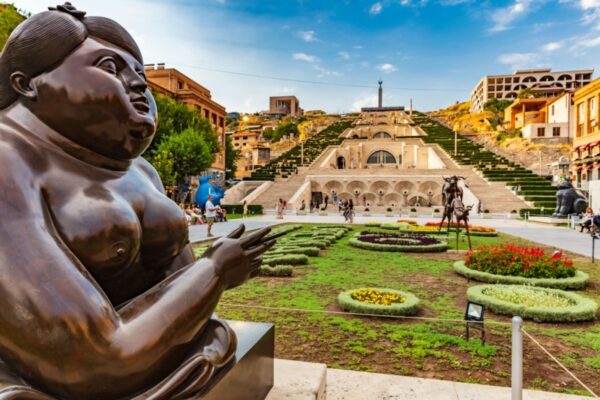
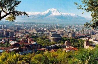
Yerevan
Check out Yerevan’s art scene by climbing The Cascade staircase that connects downtown Yerevan with the museum district... -
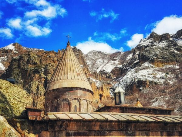
Dilijan National Park
Northern Armenia’s Dilijan National Park is home to hiking trails where you can see bears, wolves and several species of eagle... -
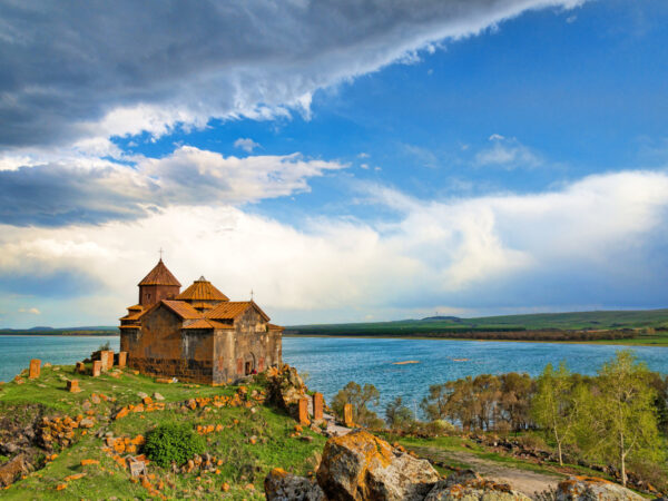
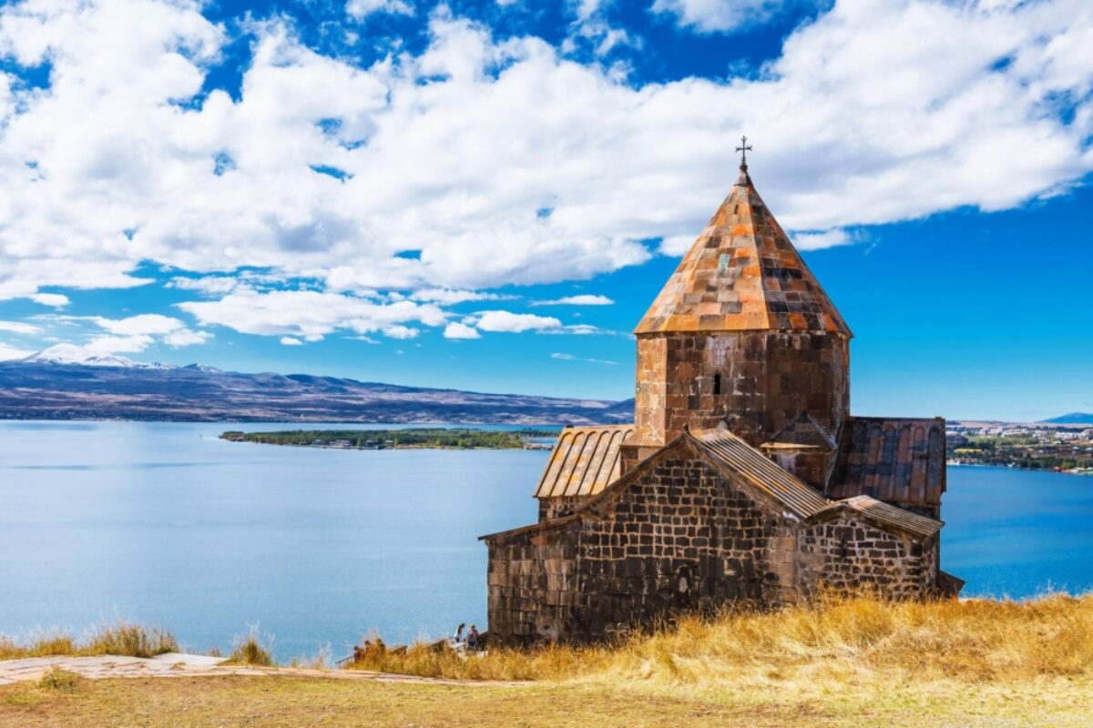
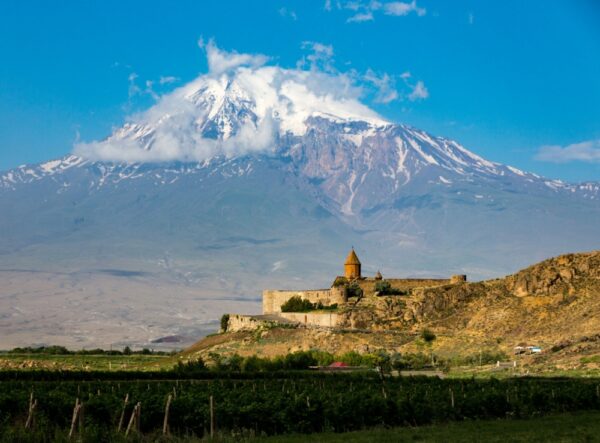
Lake Sevan
At 1,900m above sea level, the vast Lake Sevan is one of the largest freshwater high-altitude lakes in the world... -
Selim Pass
The Selim Pass road links the provinces of Gegharkunik and Vayots Dzor through the Vardenis mountain range, but the main attraction is the Selim Caravanserai, just past the highest point... -
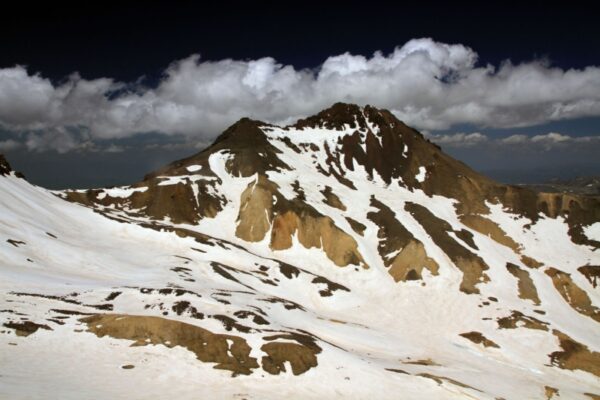
Mount Aragats
Aragats is the highest mountain in Armenia, offering adventurous hikers a challenging climb... -
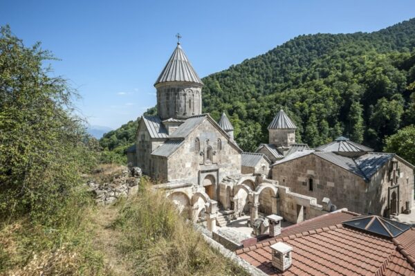
Lori Province
Armenia’s rich religious history means it has a plethora of churches and religious buildings... -
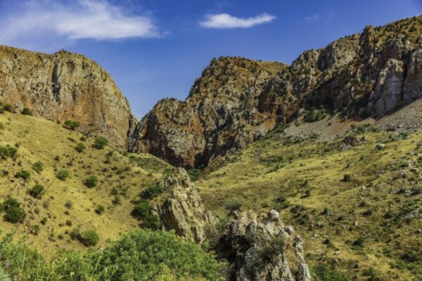
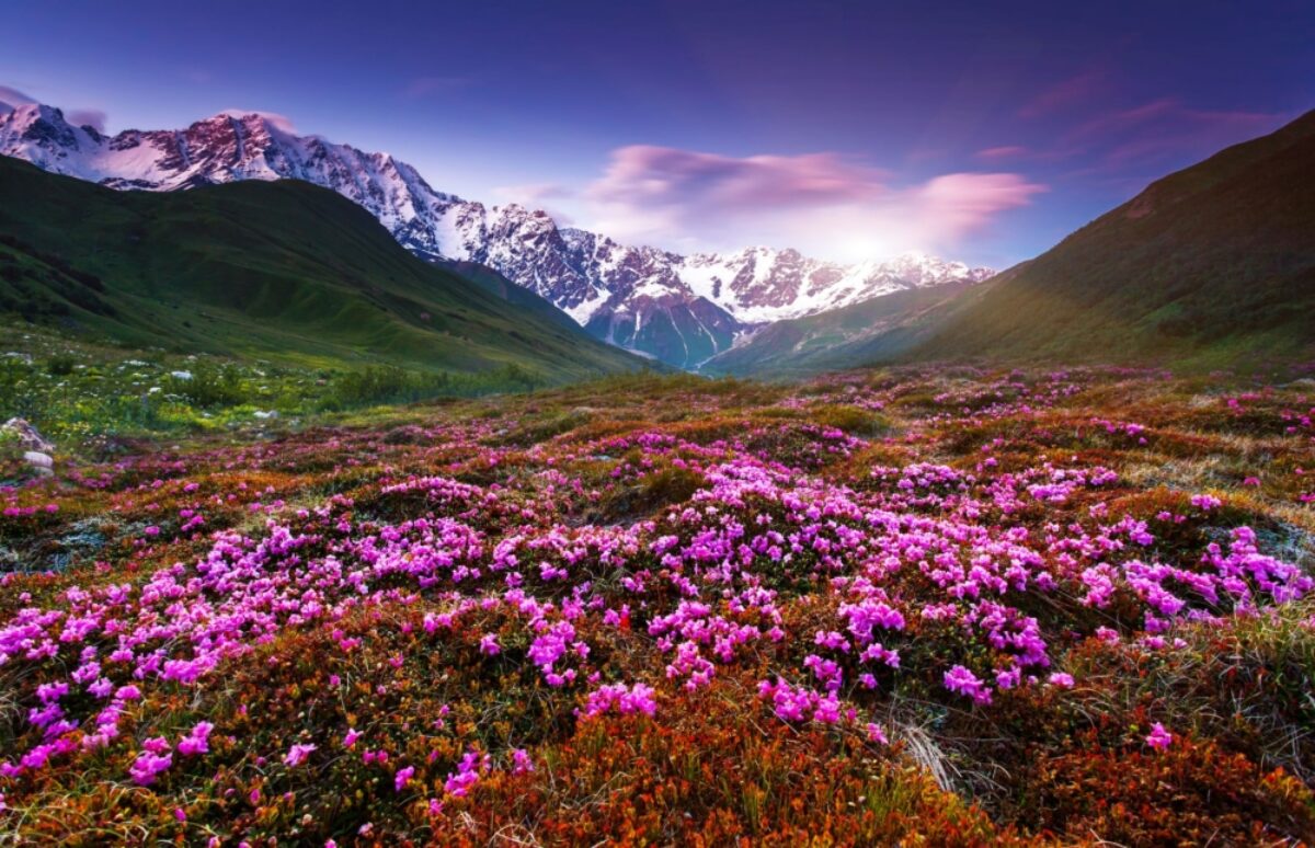
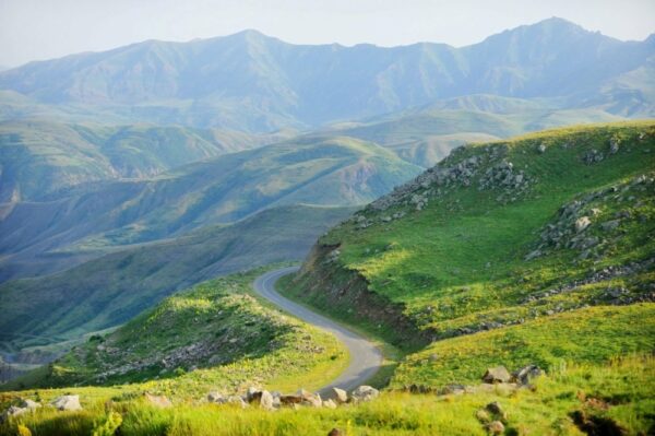
Southern Armenia
Southern Armenia is full of rugged beauty, with deep gorges and forested canyons... -
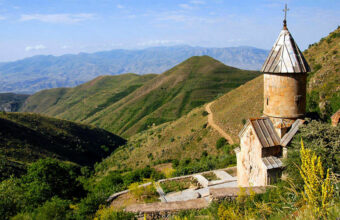
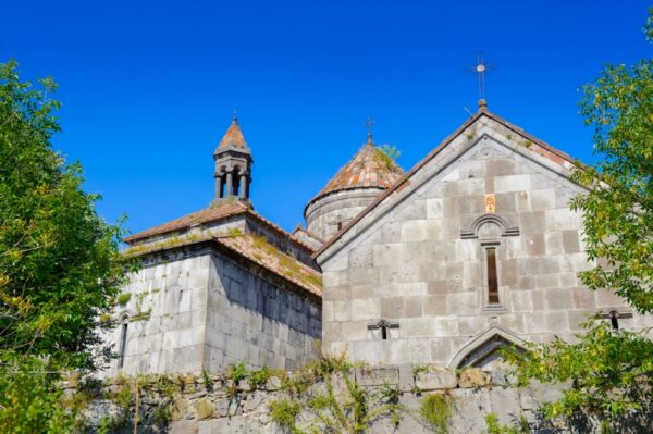
Tatev Monastery
The 9th-century Tatev Monastery was a centre of spiritual enlightenment and home to more than 600 monks at one point... -
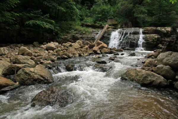
Lastiver
In a remote corner of a picturesque gorge, surrounded by waterfalls, lies the Lastiver caves, where locals from the nearby village of Yenokavan sought refuge from Mongol invaders in the 13 century... -
Dilijan
... -
Azerbaijan
Land of fire
Travelling to Azerbaijan can be confusing... -
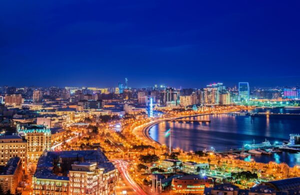
Baku
Azerbaijan’s capital might be changing fast due to the oil-boom, but its heart still lies in the UNESCO-listed Old City, full of tree-lined boulevards and fascinating mansions... -
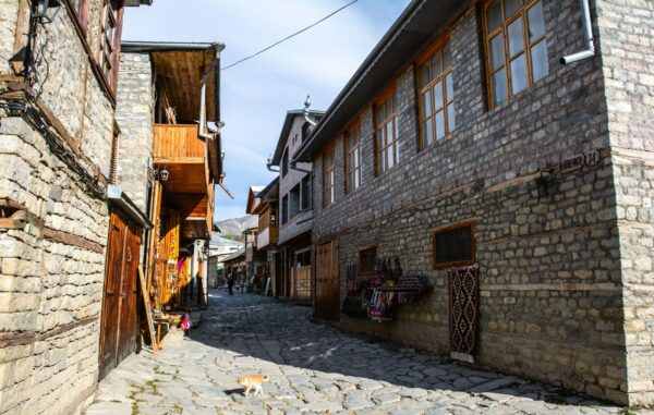
Lahij
The ancient village of Lahij in the Upper Caucasus was once an important trade and craft centre, with artisans creating copper adorned ornaments and knives, weaved cloth and leatherware before mass-produced factory goods saw the town decline... -
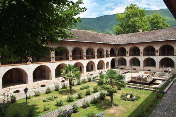
Sheki
Once a trading stop on the fabled Silk Road, the town of Sheki is now the perfect place to sample Azerbaijan’s historic architecture (look for Sheki Khan’s Palace), craft workshops and try piti, a national dish of lamb stew cooked in a clay pot... -
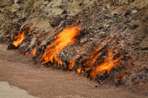
Mount Yanar Dag
Azerbaijan is known as the Land of Fire and nowhere is that more apt than at Mount Yanar Dag in Mehemmedi village, where an eternal flame burns from the hillside’s underground gas reserves... -
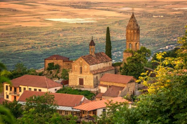
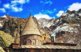
Georgia
Rolling hills and centuries-old villages
Georgia is no longer a backpacker’s secret... -
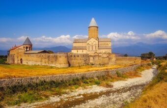
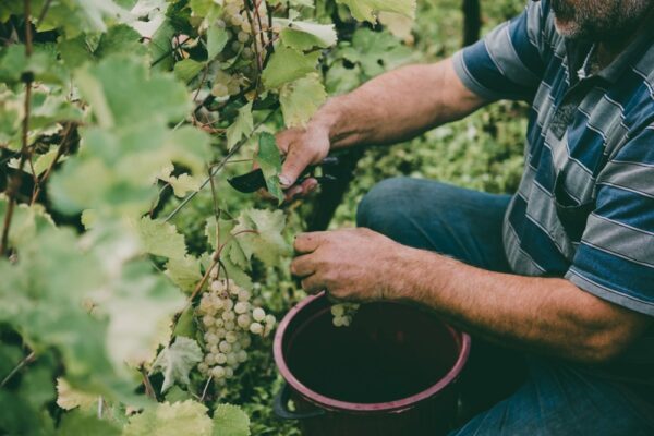
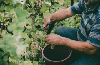
Kakheti region
Kakheti in eastern Georgian is the country’s premier wine-producing area, with plenty of wineries where you can sample a glass of qvevri – named for the large, lemon-shaped terracotta pot buried in the ground that the wine ferments in... -
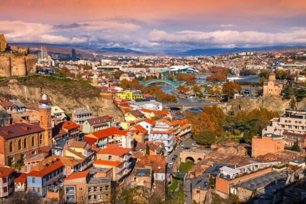
Tbilisi
Tbilisi’s famous sulphur baths can be found in the Abanotubani district in the old town... -
Borjomi-Kharagauli National Park
The forests of Borjomi-Kharagauli National Park are home to a dozen hiking trails and activities like horse-riding, biking and camping... -
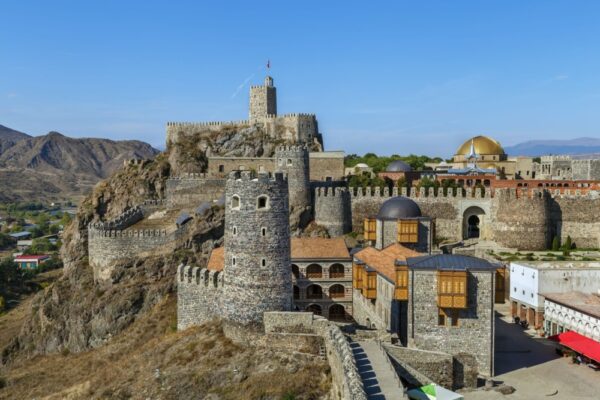
Rabati Fortress
Located on a mountaintop overlooking the town of Akhaltsikhe, Rabati Fortress attracts tourists for its mix of architecture, churches and mosque... -
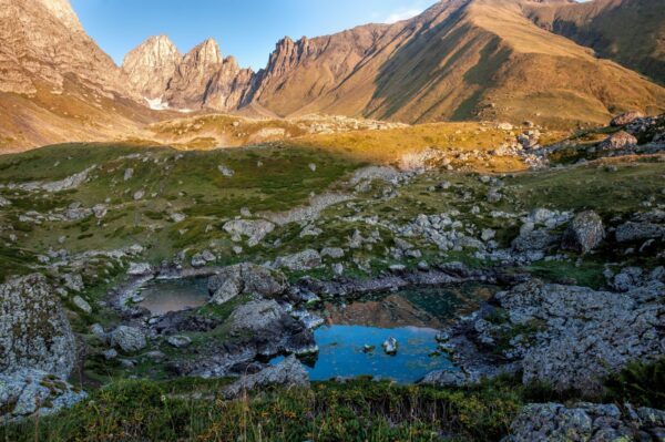
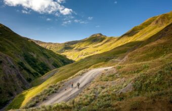
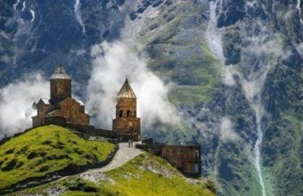
Khevsureti region
Mountainous Khevsureti is the perfect place to go hiking in Georgia... -
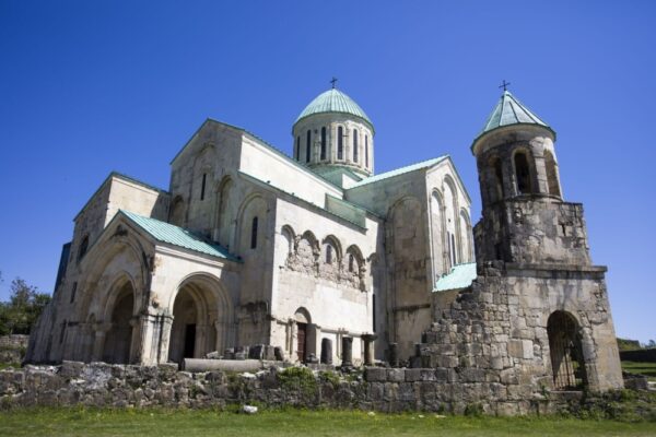
Kutaisi
Kutaisi was once the capital of Georgia and dates back to the 15th century BC... -
Svaneti
...
Places to go in The Caucasus
The Caucasus Tours
Walking Tour in Armenia
11 days exploring Armenia on foot
11 daysFrom £934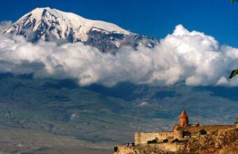
Azerbaijan, Georgia and Armenia
21 days exploring Azerbaijan, Georgia and Armenia
21 daysFrom £3,432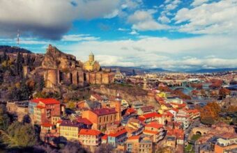
Exquisite Caucasus
16 days in Armenia, Georgia and Azerbaijan
16 daysFrom £3,493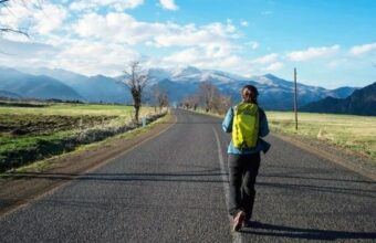
Hiking Armenia, Georgia and Azerbaijan
18 day hiking in the South Caucasus
18 daysFrom £2,673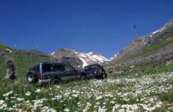
The Caucasus Travel Companies