Scotland's Top Long Distance Cycle Routes
Multi-day and single day cycling routes in Scotland
From road trips to mountain biking, single-day trips to epic week-long adventures; here are six of the best long-distance cycling routes in Scotland.
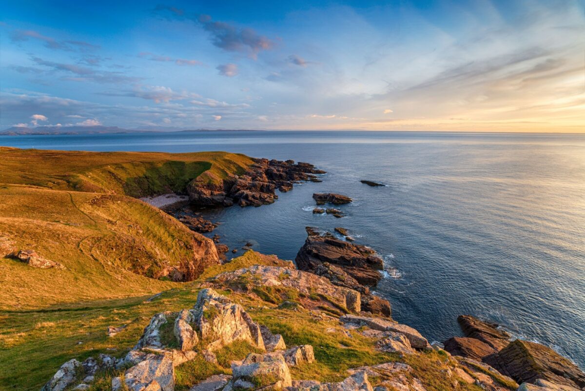
View from cliff tops near Lochinver on the North Coast 500
North Coast 500 (west section) Lochinver to Rhiconich
This is a hard road route; its ascent profile looks like a saw. Your legs will feel like they have been attacked with one too. But it's worth it for the fitter rider. The jumbled west coast scenery once you join the minor Assynt Coastal Road outside the rough-and-ready harbour village of Lochinver is sublime. The road doesn't so much as follow the coast as buck and rear across a succession of valleys. Its ever-changing character, sea views, and mountain vista of the Quiraing are magnificent.
North Coast 500 west
Distance: 73km / 46miles
Riding time (no breaks): Seven hours
Difficulty: Hard
Suitable for: Experienced cyclists
Rejoin the main road after Loch Unapool to cross the Kylesku Bridge and pump those legs on to Scourie with heartwarming sea views from Badcall. North of Scourie lies Handa Island where tradition maintained that the oldest widow was given the title "Queen of Handa". However, once the potato famine hit in 1848 the islanders left for Canada never to return.
Now the road runs north east to the destination of Rhiconich with its good food-serving hotel. The way is studded with lochans – small lochs (never “lakes” in Scotland apart from a couple of rare exceptions).
The exposed nature of the route means you need to be prepared for full assaults from the elements. Avoid July and August if possible as traffic can be a nuisance on the main roads thanks to the popularity of the North Coast 500 as a driving route.
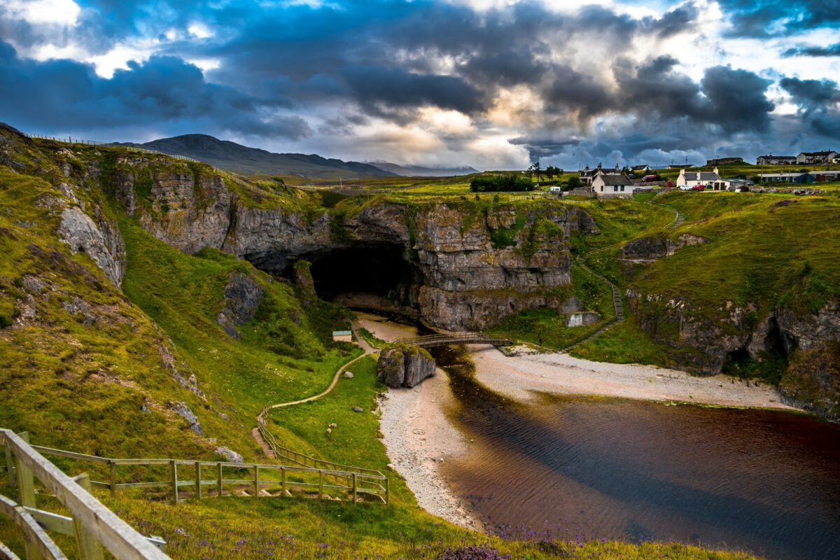
Smoo Cave at Durness, Scotland
North Coast 500 (north section) Rhiconich to Thurso
Rhiconich makes a good start point for this road route to arrive at the end of Scotland's mainland – the formidable north coast. The road leads inexorably north east with a hard climb before a long run down a wide and lonesome strath (valley) to reach the stunning Kyle of Durness (the word kyle is from the Gaelic caol meaning narrow, here referring to the sea inlet) with expansive beach views. A recommended 18km detour on a rough track leads to Cape Wrath after a ferry crossing.
Distance: 138km / 87miles
Riding time (no breaks): 12 hours / two days
Difficulty: Hard
Suitable for: Experienced cyclists
By Durness, if you have time, stop and see the Smoo Caves, one of mainland Britain’s most spectacular coastal caves. Continuing east there are excellent sea views from the singletrack road by Sangobeg. One could opt to spend the night in Tongue reached by a causeway after a solid 70km/ 43mile up-and-down ride with one big climb.
Day two is slightly easier though it may not seem it, especially if you have started in Lochinver. Although the road runs parallel to the coast it's often at a distance and you will not have continuous sea views. But there are great views once you climb to Bettyhill home to the Strathnaver Museum with its excellent documentation of the area´s tumultuous past. Close by stands the elaborately engraved Pictish Farr Stone believed to date from between 800 and 850 AD.
Finish in Thurso. From here it's a must to see John o´Groats and Dunnet Head – the most northerly point of the Scottish mainland.
Cape Wrath Fellowship
Grind your way up to the often bleak Cape Wrath – the most north-westerly point in mainland Scotland. Take a photo of you and your bike as evidence and send it to Cycling UK, Britain's oldest and largest cycling organisation, to be sent a certificate and added to the roll of honour of the Cape Wrath Fellowship, which has been in existence since 1949.
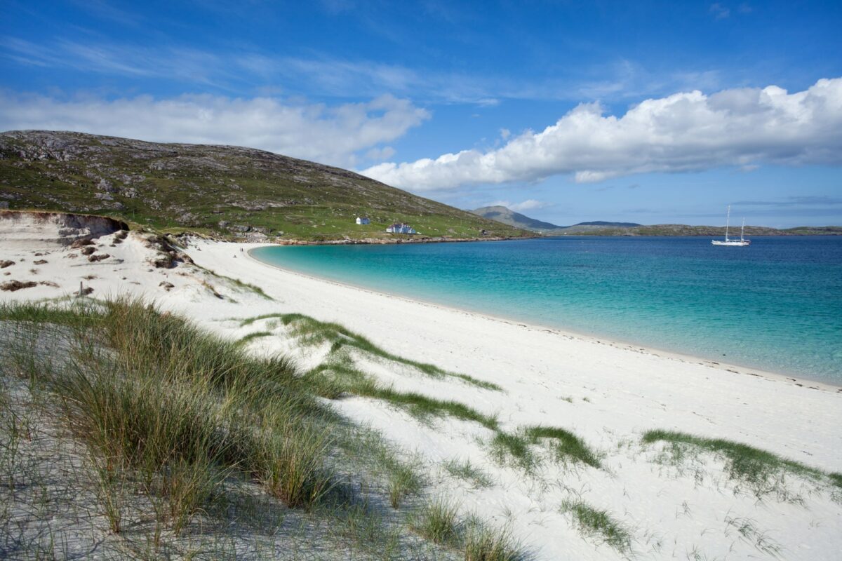
Vatersay beach, on Scotland's Outer Hebrides
Hebridean Way Cycle Route
Gear up for an epic road route on so many levels: from the satisfying feeling of progression as you make your way across the spine-like chain of Outer Hebridean islands to the physical experience of being in such a unique part of the world.
The journey begins from the southern island of Barra (served by ferry). Visit the causeway-linked Vatersay then ride north to take the ferry to the tiny island of Eriskay.
Hebridean Way Cycle Route
Distance: 297km / 185miles
Riding time: Six days
Difficulty: Moderate/Hard
Suitable for: Regular/experienced cyclists
Another causeway leads across the sea to South Uist. Choose a quiet time to cycle and you can enjoy the progression through the moorland which characterises this part of the Uists.
Further on, pass Our Lady of the Isles statue, a reminder of the island’s predominantly Catholic population, in common with that of Barra and Benbecula. In contrast, North Uist, and Harris and Lewis in particular, are largely of the Free Presbyterian persuasion. Be aware that all services (except mass!) are limited on the Sabbath (Sunday).
A series of causeways lead to North Uist. At Clachan na Luib, there’s a choice of routes. The more scenic alternative is to follow the coast road but the wind will be a deciding factor.
Similarly, on Harris, the route follows the ‘Gold Coast’, a name which aptly describes its stunning stretch of coastline. This road should not be missed. But if there’s a westerly gale it may be wise to follow the road east via Rodel.
Ride through the hilly Lochs area of Lewis, past the famous Callanish Stones up to the Butt of Lewis where many a saddle-sore cyclist celebrates.
Am Politician pub, Eriskay
Well situated for sunset viewing, Am Politician is named after the ill-fated ship which sank nearby, to be immortalised in the book and film Whisky Galore. A plaque in the pub proclaims "Never in the history of human drinking was so much drunk so freely, by so few".
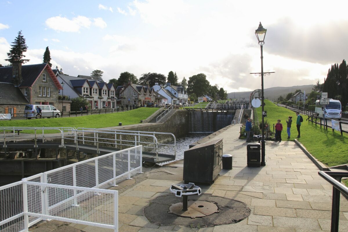
Neptune's Staircase, Caledonian Canal path
Great Glen Way (Sustrans National Route 78)
Within minutes of leaving the somewhat drab town of Fort William an adventure unfolds. The Caledonian Canal towpath is followed by Neptune's Staircase, a flight of eight canal locks, from where you can get a fantastic view of Ben Nevis. You can also get a sense of the size of the mighty glen that cuts diagonally to Inverness.
Great Glen Way
Distance: 106km / 66miles
Riding time: Two days
Difficulty: Moderate
Suitable for: Regular riders (initial 17km/10mile section is ideal for families)
Work started on the Thomas Telford designed canal in 1803, linking the lochs of the Great Glen to provide a coast to coast crossing. Its use as a shipping shortcut was soon superseded by the advent of steamboats. A mountain bike or hybrid is recommended as the towpaths have rough, stony, surfaces. Families will enjoy the traffic-free initial section to Gairlochy. After this, there are some road sections though most of the first half of the route,
to Fort Augustus, is level and on towpaths or tracks, though the stonier ones make for hard work. Note: take extra care on fast road crossings at Banavie by Fort William (A830), and the A82 at South Laggan and Aberchalder.
Fort Augustus is a very attractive spot to spend the night. From there this Sustrans National Route 78 (marked with blue signs) climbs somewhat monstrously above the southern bank of Loch Ness. It's worth the effort though as soon the minor road leads through pleasant moorland. The setting is generally quiet but be alert to fast-moving cars.
A grand descent leads down to follow the powerful River Ness on cycle paths into Inverness where the castle marks the journey's end.
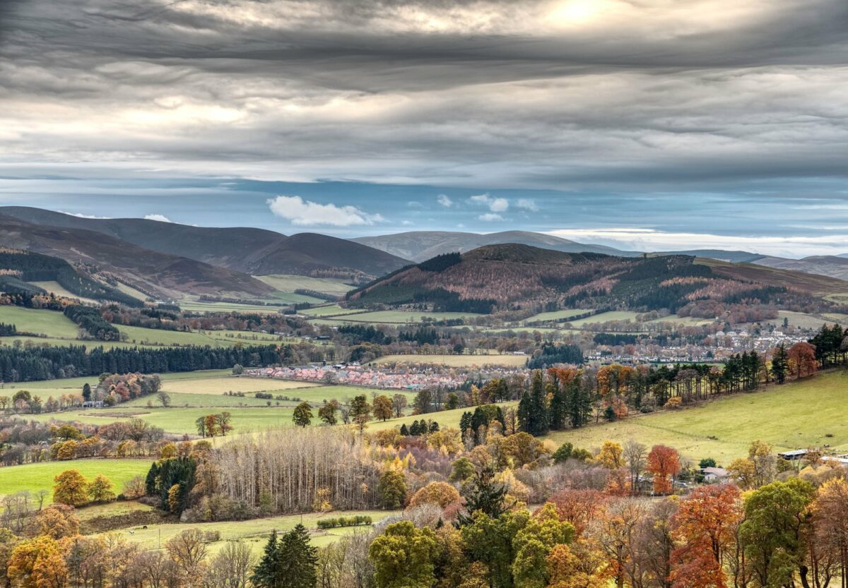
Peebles and Glentress forest in autumn, Scotland
Tweed Cycle Way
Meandering through the heart of the Borders, the Tweed Cycle Way offers miles and miles of truly excellent cycling. The well-signed route runs from Biggar, in South Lanarkshire, to finish at Berwick-upon-Tweed, on the east coast of England and just south across the Scottish border.
Tweed Cycle Way
Distance: 153km / 95miles
Riding time: Two to three days
Difficulty: Moderate
Suitable for: Regular riders & families
Overall the grading for this route is moderate, though there are dozens of long undulating sections and quite a few steep climbs.
The Tweed Cycle Way (marked with a green triangle on yellow) leads through some of the finest scenery of the Borders on roads generally light in traffic. It passes through the attractive towns of Peebles, Melrose, Kelso and Coldstream, all rich in history.
Technically, you don't start following the Tweed for the first few miles but rather the Biggar Water main tributary; the Tweed rises to the south by Moffat with the confluence by Broughton.
As the Borders area is much more populated than the Highlands or Islands there is a huge choice in overnight stops. The route will take 2-3 days to complete unless you stop a lot or go very slowly. Peebles is a good option: a royal burgh since 1367 it was where the Scottish kings came to stay after hunting in nearby Ettrick Forest. Melrose is a beautiful place to stay too with good restaurants and a historic Abbey to visit.
Further on the Union Suspension Bridge is crossed from the English side of the Tweed before a straightforward run into historic Berwick, which has a train station for connections away.
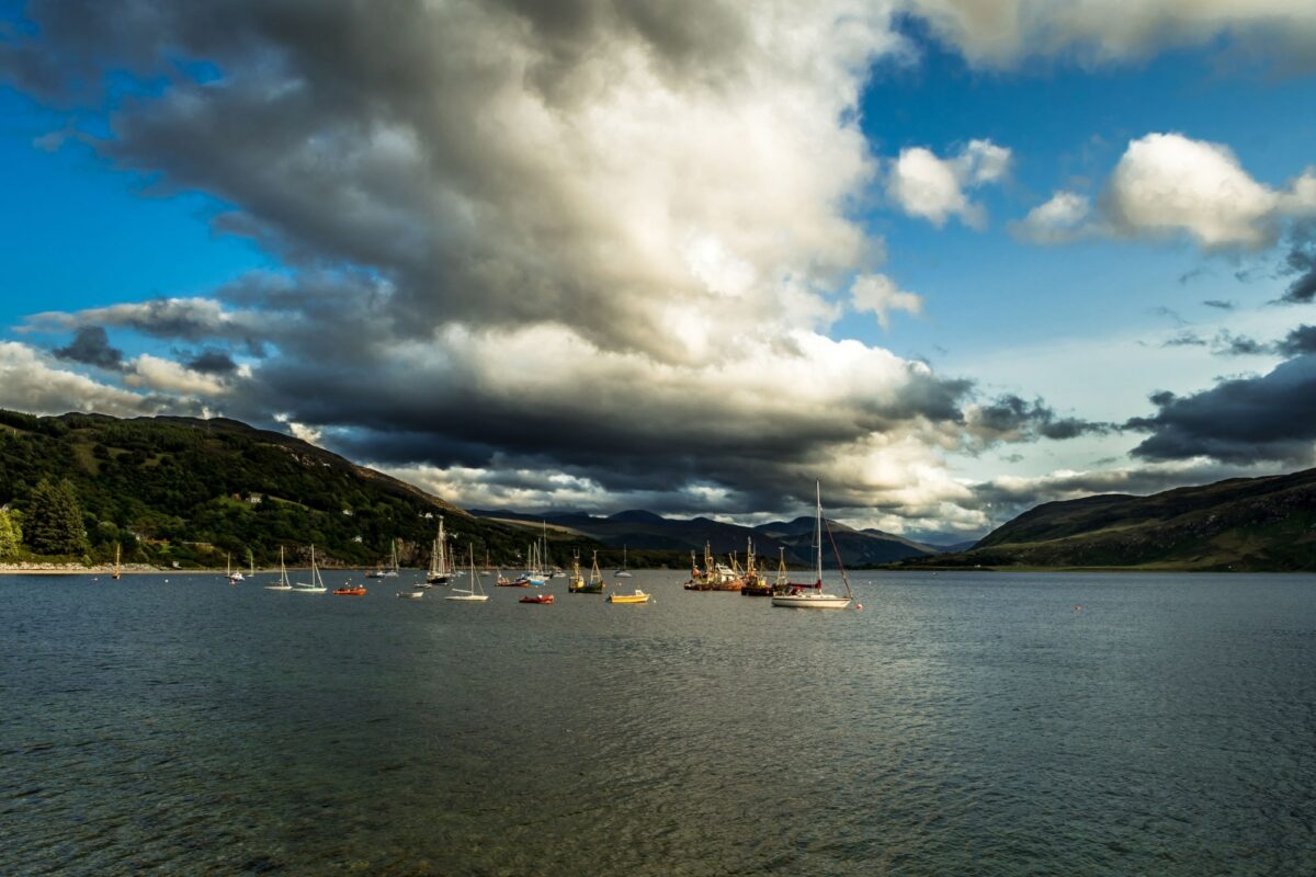
Ullapool harbour on Loch Broom, Scotland
Ullapool to Ardgay
There is an unmistakable draw to crossing Scotland by mountain bike on remote tracks. There are several options. Riding from the west coast harbour town of Ullapool to Ardgay is the shortest coast to coast route and one that is included by specialist tour operators, often as part of a multi-day package.
Ullapool to Ardgay
Distance: 114km / 71miles (return)
Riding time: 14 hours / two days (return)
Difficulty: Moderate MTB route
Suitable for: Regular riders with remote off-road experience (initial section ideal for families & day trips)
The standard advice to follow the prevailing south-westerly wind in Scotland doesn't work on this linear two-day route. Once you cross from the west coast to the east, at the Dornoch Firth, it's likely you will need to retrace your tracks unless you catch a train in Ardgay or have made other arrangements.
The route first runs by the charming alder-lined Ullapool River through superb, wild, landscape – part of the conservation-conscious Rhidorroch Estate. In the summer months, the land is packed with colour from the white-topped cotton grasses, butterwort and sweet-smelling bog myrtle. Golden eagles nest in the glen while sea eagles and ospreys are occasional visitors.
Ride past Loch Achall where you may see herds of red deer by the Eas a´Chraosain waterfall. Soon after, the ride – easy up to now and ideal for daytrippers – gets rough.
A savagely steep, tricky and rocky climb leads to moorland then a descent to remote Loch an Daimh. Beyond, you need to ford a river and head to The Schoolhouse at Duag Bridge before descending Strath Cuilennach. Join a road which leads to picturesque Coick Church and the final leg to Ardgay on the Dornoch Firth, north of Inverness.
Return after a night’s rest to lively Ullapool.

