Peru
Hidden treasures for those that look
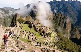
Mention Peru to most and their first response will almost certainly be: Machu Picchu!
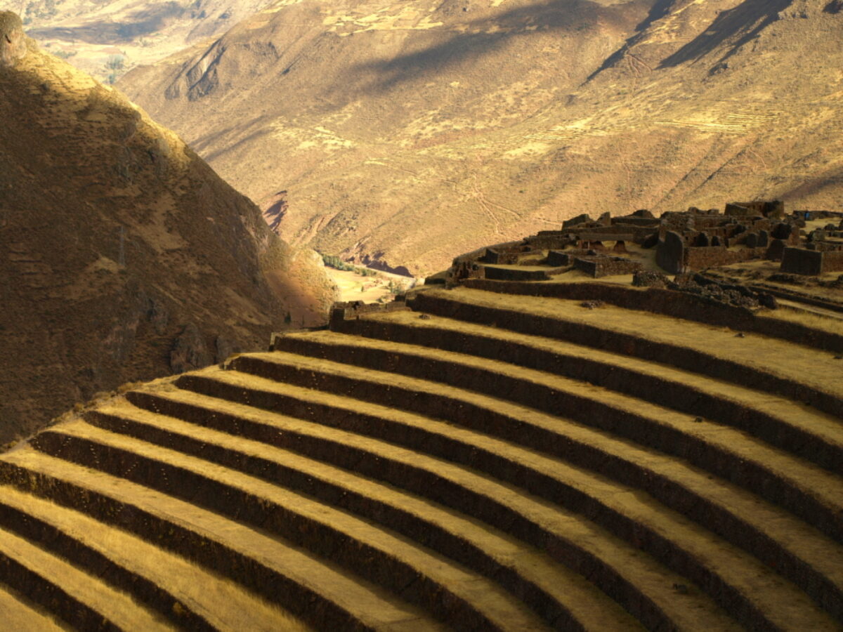
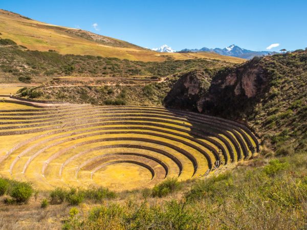
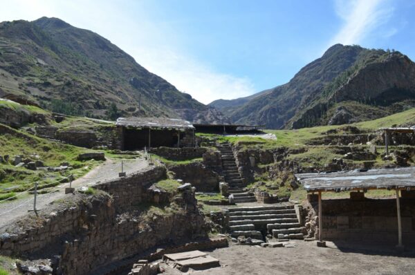
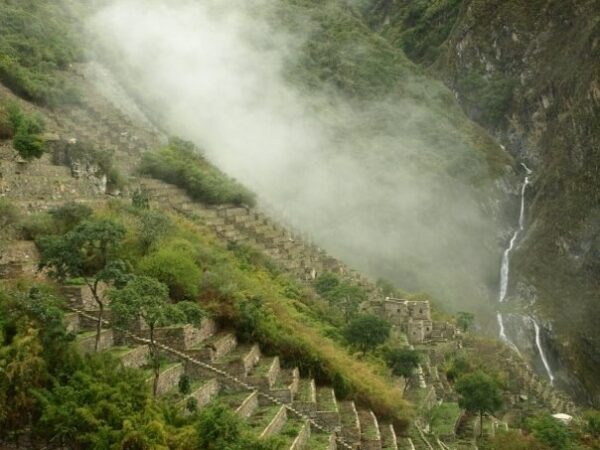
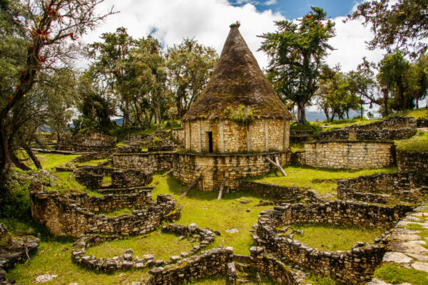
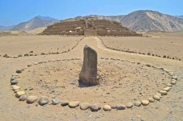
For better or worse the famed citadel has become virtually synonymous with its host nation. But despite Machu Picchu's unarguable majesty, there is so much more to the rest of the country than these attention-stealing ruins. Pre-Columbian cultures left their indelible mark the length and breadth of Peru while the Incas were still in metaphorically short pants.
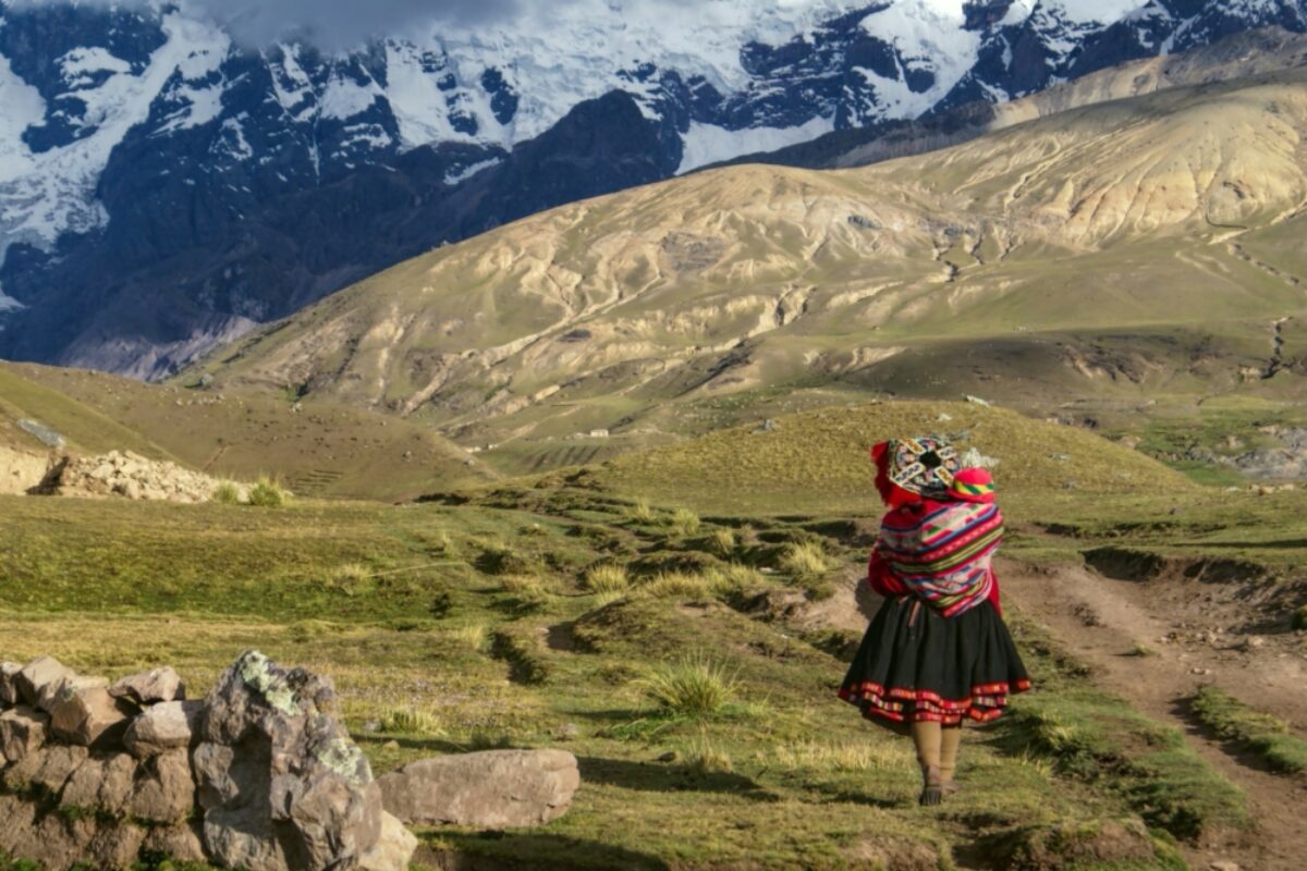
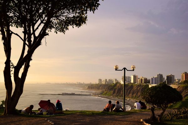
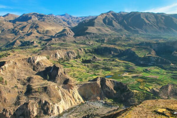
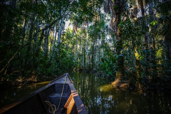
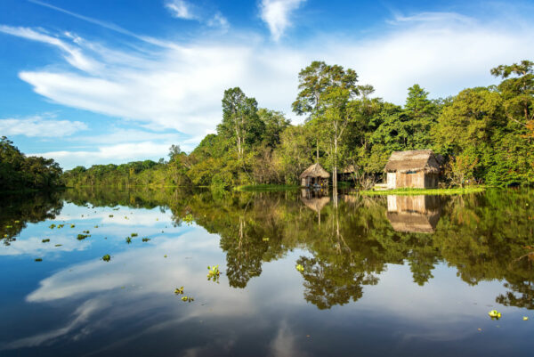
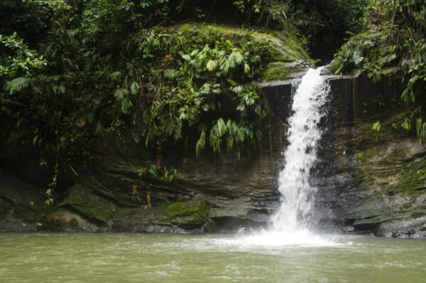
Beyond archaeology there's world-beating cuisine and a buzzing arts scene in Lima, inconceivably vast Andean landscapes, oh and we haven't even mentioned the Amazon rainforest, which occupies a good two-thirds of the country's territory. Sure, come for the ruins. But leave plenty of time for the rest — you won't regret it.
Hidden gems in Peru
Cordillera Blanca
Llanganuco Lakes day hike
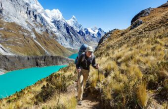
ExperienceIf you fancy a day of less strenuous walking, the Llanganuco Lakes hike may be a good option. I usually recommend it as an acclimatisation hike prior to a longer trek. The vehicle does the hard work, dropping you at Portachuelo Pass (4,780 m / 15,682 ft) where you have magnificent views of the high peaks of the Cordillera Blanca, such as Huandoy, Huascaran, Chopicalqui and Chacraraju. From here you descend the way you have come, into the Llanganuco Valley, past Lakes Orconcocha and Chinancocha, and onto Maria Josefa Trail. This trail takes its name from a local legend: the María Josefa in question was a beautiful local girl who caught the eye of a rich landowner. She rejected his repeated advances, and finally decided to run away over the Cordillera Blanca, where he couldn’t find her. Unfortunately, as she was making her escape, the landowner caught up with her at Llanganuco Lakes. Once again she turned him down, and in a fit of rage, he stabbed her and left her to die. A heartwarming story of gender violence.
Read moreCordillera Blanca
Laguna 69 day hike
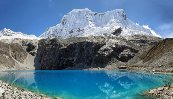
ExperienceLocated in Huascaran National Park, the Laguna 69 trailhead is a three hour bus ride from Huaraz and requires an entrance fee of S/30. While I almost always prefer hiking independently, for this hike a tour guide is by far the most practical and cost-effective option. Hiring a taxi would be expensive and difficult to arrange for the return trip to the city. Tours usually cost around S/60 per person, depart at 4 am and return to Huaraz around 6 pm.
Read moreCordillera Blanca
Laguna Aguak day hike
ExperienceLaguna Aguak is a challenging rocky ascent to yet another turquoise alpine lake. The trek has a well established footpath and is easy to follow throughout the entire duration. The first two kilometres of the hike is quite easy with a very gentle incline over grass hills. However, with over 1,100 metres of elevation gain in under 12 kilometres, the trek quickly transitions to steep rocky switchbacks. This was one of the most unfrequented treks in Huaraz I completed, as I only saw two other hikers and two older women herding their sheep through the first portion of the trek. Unfortunately, I had to turn back within 11 kilometres of the glacier due to a thunderstorm. With wishful thinking, I continued to push for the laguna under thunder and rain, hoping to get a glimpse and quickly descend before the storm became too strong. But predictably, the lightning migrated directly overhead and the rain turned to hail and continuing would have been reckless. Need to know Located in the Huascaran National Park, Lagua Aguak has an entrance fee of 30/S and is about 30 minutes from the city centre by combi or taxi. Transportation details by combi are the same as mentioned in Laguna Llaca and Laguna Radian. At the very beginning of the trail, you will pass a few residences along a dirt road before the terrain becomes more expansive and the trail more solitary. However, it’s important to be cautious of the dogs here. Most locals allow their dogs to roam freely, and therefore they can be territorial of sections of public road near their residence. On these roads in particular, I encountered several very aggressive dogs and contemplated turning back before even reaching the trailhead. Luckily, I was able to find an alternative route to the trailhead to avoid passing near them. On the way back to the combi stop, nervous to walk through the same neighbourhood, I asked if I could walk along with a few locals I saw passing and felt much safer.
Read moreCordillera Blanca
Laguna Radian day hike
ExperienceLaguna Radian is a pleasant day trek that transitions from a wide gravel path through open, rolling hills to a moderately steep and narrow footpath. Just under 11 kilometres long with 560 metres of elevation gain, Laguna Radian is a great option for an acclimation hike. The trail begins with a gentle incline through tranquil forest and passes a few remote residences. After the first three kilometres, the trail becomes fairly steep and offers incredible views of Cordillera Negra behind you as you ascend. Once at the laguna, you’ll see a magnificent backdrop of snowy peaks and their reflection in the laguna, including Huascaran, the highest peak in Peru. Need to know Located in the Wilcahuain Village, the trailhead is 30 minutes by vehicle from Huaraz. A taxi will likely cost 40 to 50/S whereas public transport by combi will cost 2/S. To go by combi, go to the intersection of 13 De December & Jr Cajamara in the city centre and exit the combi at the Wilcahuain ruins. The trailhead is about a five minute walk from the combi stop along a dirt road and through a bit of forest. When you reach a sign for Laguna Radian, turn right and continue past several farms. From there, the trail has a clear footpath and is easy to follow. Be cautious of aggressive dogs on the trail. While I personally did not encounter any dogs on this hike, other trekkers I met in the city centre warned me of their unnerving confrontations.

Read moreHuaraz
Wilcacocha Lake day hike
ExperienceAnother stunning and easily accessible day hike, Wilcacocha Lake is located 30 minutes away from Huaraz in Cordillera Negra. Reaching 3,700 m, Wilcacocha lake is situated at lower altitude than the majority of other day hikes, making it ideal for acclimation. Taking about three hours round trip, the trail has a fairly mild incline and overlooks beautiful green hills and provides spectacular views of the cordillera Blanca in the distance. While a pleasant hike, don’t expect the laguna to be a crystalline turquoise like so many other alpine lakes in the Huascaran National Park. Wilcacocha Lake is much smaller and can be a bit muddy as it isn’t fed by a glacier. Although, it is still beautiful nonetheless. Need to know While guided tours are available in Huaraz, I recommend doing this trek independently. Taking public transport is relatively simple, much less expensive, and will allow you to avoid the crowds of going with a bus of 20 other trekkers. To go by public transport, take a combi from the north side of Antonio Raymondi road. The departure site is conveniently marked on google maps, as “Colectivo to Laguna Wilcacocha”. Note that there is no entrance fee.
Read moreCordillera Blanca
Laguna Llaca day hike
ExperienceTranquil, eerie, and delightfully long, Laguna Llaca is a lesser-known day hike with a gradual ascent along rocky footpaths, gravel roads, and a short scramble to reach the alpine lake. Of the dozens of alpine lakes I explored in Huaraz, Laguna Llaca was one of my favourites. Apart from trekking on the gravel road at times, there is a special and solitary feeling here, which can be a rarity when hiking along with popular guided tours. Laguna Llaca requires a moderate level of fitness, although the actual trail is not technical or precarious. The trail begins on a narrow footpath over an expansive plain and transitions into gentle hills with tall grass. As you continue along the gradual incline there's a moment when you can see the trail leading through a massive gorge between two rock faces in the distance. This sight was one of the most memorable and invigorating of the entire trek. A thrilling shiver struck me when seeing such a tiny path disappear though two enormous rock towers streaked with black, white, and vivid green limestone. Upon entering the gorge, a backdrop of massive snowy peaks emerges unexpectedly. From there, the trail transitions to a gravel road along the valley wall and above a wide river. A few diverging footpaths offer the option to get off the road temporarily and cut through lush portions of forest. Just before reaching the laguna, there is a short rock scramble that takes about 30 minutes. You may even see a small base camp of climbers just before the scramble, as the surrounding rock faces offer dozens of sport climbing and multi-pitch routes. When I went, I was the only person at the laguna. Intermittent gusts of powerful wind interrupted the absolute silence I was privileged to experience there. Need to know The trailhead is located in Wilcahuain Village, 30 minutes from the city centre. There are two transport options: taxi or combi (small public bus). A taxi is the fastest option and will likely cost 40 to 50/S, whereas a combi only costs 2/S but takes much longer. Although the trail is relatively straightforward to follow, getting to the trailhead can be tricky if you are taking public transport: Take a combi from the intersection of 13 De December & Jr Cajamara in the city centre. Exit the combi at the stop for Wilcahuain Village. From there, walk for 30 minutes along the dirt road toward the Lazy Dog Inn, which will be on your right. After passing the inn, continue walking up the hill for about 10 minutes and you will see a small and rocky footpath on the left side of the road. This is the official start of the trail although it is extremely easy to miss. The trail is located in the Huascaran National Park and has an entrance fee of S/30 per day that needs to be paid in cash. Although the neighbourhood where the trail starts is very remote, I felt safe the entire time as everyone I passed was willing to provide directions or guidance when they could. However, it is always best to ask the receptionist at your accommodation about safety before venturing solo in unknown neighbourhoods.
Read moreCordillera Blanca
Nevado Mateo glacier hike
ExperienceShort, sweet, and easily accessible, Nevado Mateo is a mild and non-technical glacier hike to the 5,150 metre summit. Mateo is ideal for first-time climbers or as a warm-up excursion for altitude acclimatisation if you’re preparing for larger peaks. While the terrain is not technically challenging, do not underestimate scrambling over rocky terrain and through potentially deep snow above 4,000 metres. It is not for the faint of heart! Rest assured that the challenge is well worth the suffering, as panoramic views of Nevado Poroquingua, Chopicalqui and the Pucahirca, Chacraraju, and Contrahierbas massifs wait at the summit. The first portion is a solid combination of steep, exposed, rocky incline, large rock scrambles, and one precarious, exposed rock ledge, usually covered in snow and ice. There are bolts here in case you’d like to clip in for belay as an extra safety precaution. While you continue to climb you’ll be treated to epic views of Chopicalqui and Huascarán even before reaching the glacier. The glacier somewhat resembles an icefield on a 50 degree incline. Therefore, there is usually a well trodden path and snow trench, although depending on the season there can be extremely deep sections of snow just before the summit. Need to know Mateo is located in Huascaran National park and requires an entry fee of 30/S. If you’re experienced enough to go without a guide, make sure you arrange return transportation before leaving Huaraz. While this single day excursion is absolutely stunning, I found it strange that Mateo is marketed so heavily in Huaraz, especially among the plethora of other more complex peaks in the region. From what I observed, the majority of backpackers flock to Huaraz for the famous Laguna 69, Pastoruri Glacier, and the Huayhuash and Santa Cruz circuits. Once there, Nevado Mateo is presented as an approachable option for a first alpine experience. However, if you’re ready for more demanding ascents, do not let the abundant advertising fool you into thinking that Mateo offers something especially unique compared to other peaks. Rather, it’s just more accessible (and more easily sold) to a larger range of abilities. Nonetheless, you’ll still be surrounded by snow capped towers and other adventurous spirits who share a love for the mountains. There is never a downside to that.
Read moreCordillera Blanca
Pastoruri Glacier day hike
ExperienceLocated in the southern part of the Cordillera Blanca in Huascaran National Park, the bowl-shaped Pastori glacier sits at 5,250 metres and has lost one third of its size in the last 30 years. This short and beautiful day hike is one of the most popular in Huaraz for its easy accessibility and spectacular, close-up views of the glacier. The path to the glacier only takes about 30 to 45 minutes, has a very mild incline, and is paved most of the way. The path travels atop beautiful barren rock with a view of other snowcaps in the background. If you're planning on doing some big treks, this one makes a great warm up and acclimatisation hike. Need to know Located three hours from Huaraz by vehicle, there is no public transport to the glacier and so the most practical and economical option is to book a guided tour. Taxis are much more expensive and difficult to arrange for the return trip. Be aware that for most guided tours for trails located a few hours from Huaraz, the trail can be quite crowded. While the landscape is incredibly beautiful and serene, you won’t find much solitude on this hike.
Read moreCordillera Blanca
Nevado Chopicalqui Summit
ExperienceThe fourth highest peak in the Cordillera Blanca, Nevado Chopicalqui boasts a dramatic snow shelf and summit ridge. Considered one of the best summit views in the entire range, you’ll be astonished by dozens of neighbouring, rugged white peaks and massifs, including Huascaran, Pisco, Yanapaccha, and Contrahierbas. The most common route is along the Southwest Ridge and is ideal for climbers with prior technical mountaineering experience, glacial navigation skills, excellent physical fitness, and familiarity ascending exposed, steep ice slopes with two ice axes. Located at the end of Llanganuco Valley and starting below 4,000 metres, days one and two are a mild climb through dense Quenuales forest and along the ridge-line to the basecamp. The following day has a more strenuous uphill of 30 degrees over several moraines until reaching the glacier. It is common for climbers to ascend on the glacier to 5,350 metres to set up high camp. From high camp, the summit ascent transitions from a moderate incline along a wide ridge to a steep and narrow slope. While the final summit push does not require highly technical climbing, the exposure is exceptionally jarring and requires navigation around crevasses and seracs (ice blocks). If successful, the total summit ascent takes about seven to nine hours. Need to know The trailhead is located three hours from Huaraz in the Huascaran National Park and requires an entry fee of 65/S for a 30 day pass. Located just five kilometres apart, many mountain guides recommend summiting the less strenuous Nevado Pisco as a warm-up ascent to help with acclimation for Chopiclaqui. Be aware that avalanches are a hazard on the west ridge of the mountain.
Read moreCordillera Blanca
Nevado Tocllaraju Summit ascent
ExperienceAn iconic pyramid summit capped by a massive ice mushroom, Nevado Tocllaraju is one of the most famous peaks in the Cordillera Blanca. Located in the Ishinca valley, the Tocllaraju summit ascent via the Northwest Ridge is a classic mountaineering expedition that requires prior experience in moderately technical climbing, repelling, navigating around crevasses, and ascending exposed ice slopes of 50 to 70 degrees. The summit offers spectacular panoramic views of other snow caps including, Aquilpo, Palcarajui, Vallunaraju, and Huamash to name a few. Starting in Collon Village, the trek begins with a gentle incline through the Quebrada Ishinca valley to Ishinca Base Camp, situated at 4,390 metres. The following day, a short and strenuous trek hour trek along a steep moraine ridge takes you to high camp, situated at 5,000 metres. A rigorous day awaits as you begin the summit attempt. While the lower glacier has a mild incline, be cautious of crevasses as you will most likely need to cross a bergschrund (deep crevasse) to reach the ridge. The majority of the ridge is a humbling, steady slog of 55 degrees, requiring two technical, bergschrund crossings at the base of the ice mushroom, and a final push on a 70 degree incline to the summit pyramid. Triumphant and high on altitude, the descent consists of two the three rappels and exposed downclimbing to reach the lower glacier below the ridge. If you’re returning to base camp, the entire day takes about 10 to 12 hours. Need to know Note that in some years the bergschrunds have been un-passable, forcing many guided parties to turn around or find an alternate, elongated route. Be aware that fierce winds often follow the sunrise in the Cordillera Blanca, making the final summit push along steep and faceted snow even more precarious and difficult. As with any ascent in the high mountains, it is imperative that you are well acclimated and physically fit.
Read moreCordillera Blanca
Nevado Pisco Summit ascent
ExperienceNevado Pisco is ideal for novice mountaineers and climbers who are eager to attempt a first alpine ascent with a guide. With over 1,800 metres of elevation gain, the trek has a solid mix between strenuous rock scrambles and pleasant footpaths. The three-day ascent begins at 3,900 metres and reaches an altitude of 5,752 metres at the summit. For those who have their eyes set on more technical peaks, Nevado Pisco is recommended as a warm-up climb. Starting from the village of Cebollapampa, a short three hour hike takes you to Pisco Base Camp at 4,700 metres, with the option to sleep in a mountain hut. Day two is your summit attempt. Departing from camp around 2 am to reach the summit for sunrise, the ascent takes four to five hours across mixed terrain. Beginning with a steep climb to the top of a moraine, the trail oscillates between gentle footpaths and strenuous scrambling until you reach the glacier. Once roped up and crampons fitted, you’ll have another three hours of moderate incline on the glacier to reach the summit. You’ll be rewarded with panoramic views of some of the highest peaks in the Cordillera Blanca such as, Alpamayo, Caraz, Huascaran, Chopicalqui, and Yanapaccha. Need to know Although I love the freedom and adventure of trekking independently, I decided to go with a guide as I am not yet qualified to navigate glacial trekking and mountaineering equipment myself. The summit push is not extremely steep or technical, however it is still physically demanding due to the altitude. If you are considering going without a guide, prior mountaineering experience and snow condition knowledge is imperative. There are crevasses, unexpected steep sections of built-up snow that change with the season, and of course the standard risks that accompany any exposed, glacial trekking.
Read moreCordillera Blanca
Pisco Base Camp trek
ExperienceShort and sweet with spectacular alpine scenery, Pisco Base Camp is a simple and moderate-to-strenuous (due to the altitude) trek with 800 metres of elevation gain. It’s a great option for those looking for an easier climb in higher altitude, as there are no technical rock scrambles or strenuous slogging over moraines and loose ground. Starting in the village of Cebollapampa, the trailhead is located 2.5 hours from Huaraz. A short three hour hike of steady incline takes you to the base camp at 4,700 metres. The base camp has a comfortable yet modest mountain hut built by an Italian organisation, Mato Grosso. Surrounded by the snowy giants of the Cordillera Blanca, you’ll be treated to incredible scenery and feel fully immersed in the mountains. Need to know If you’re accustomed to trekking and navigating independently, have experience hiking in the high mountains, and have prior knowledge of AMS symptoms, you do not necessarily need a guide to reach Pisco Base Camp. However, if you’re new to high mountain and independent trekking, I'd strongly recommended you hire a guide.
Read more-
Llanganuco Lakes day hike
View experience -
Laguna 69 day hike
View experience -
Laguna Aguak day hike
View experience -
Laguna Radian day hike
View experience -
Wilcacocha Lake day hike
View experience -
Laguna Llaca day hike
View experience -
Nevado Mateo glacier hike
View experience -
Pastoruri Glacier day hike
View experience -
Nevado Chopicalqui Summit
View experience -
Nevado Tocllaraju Summit ascent
View experience -
Nevado Pisco Summit ascent
View experience -
Pisco Base Camp trek
View experience -
Ancascocha trek
View experience -
Cachiqata trek (Quarry Trail)
View experience -
Laguna de los Cóndores trek
View experience -
Gocta Waterfall hike
View experience -
Ubinas trek
View experience -
Picchu Picchu trek
View experience -
Misti Volcano trek
View experience -
Chachani Volcano trek
View experience -
Olleros-Chavín trek
View experience -
Cójup trek
View experience -
Alpamayo trek
View experience -
Huchuy Picchu
View experience -
Machu Picchu Mountain day hike
View experience -
Vilcabamba-Lares trek
View experience -
Choquequirao to Vilcabamba trek
View experience -
Choquequirao to Machu Picchu trek
View experience -
The Huayhuash Circuit
View experience -
Gran Vilaya trek
View experience -
Santa Cruz trek
View experience -
Colca Canyon trek
View experience -
Qhapac Ñan trek
View experience -
KM 104
View experience -
The Inca Trail
View experience -
Inca Bridge hike
View experience -
Huayna Picchu day hike
View experience -
Choquequirao trek
View experience -
Birdwatching in Manú National Park
View experience