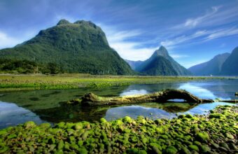
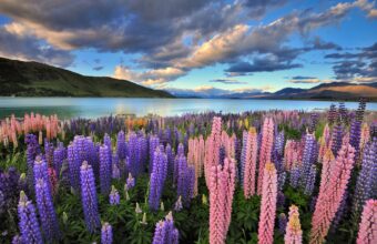
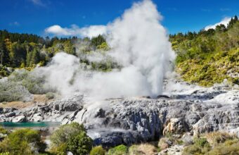
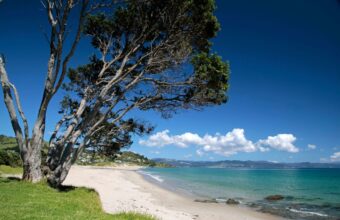
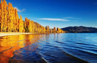
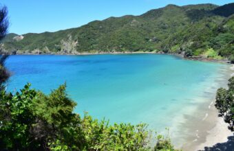
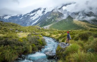
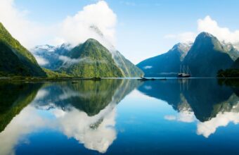
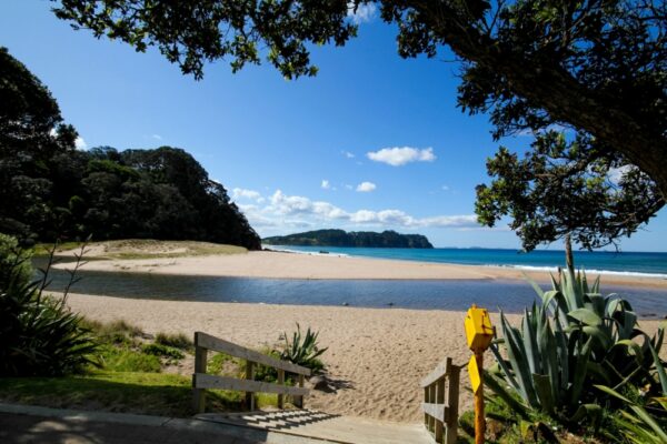
With hundreds of national parks, world-class ski slopes, pristine hiking trails, and picture-perfect beaches, no one leaves New Zealand disappointed.
From the Northland’s perfect coastline and near-tropical summer climate, to the adrenaline-fuelled adventures in Queenstown, you’ll find something to suit your holiday style.
Whether that’s mellow and meandering road-trips or action-packed wild adventures, New Zealand’s stunning scenery is your constant travel companion — as well as the deep Māori culture.
Pack your hiking boots and a spare memory card for your GoPro, because New Zealand is waiting to be explored and there’s plenty to see and do to fill your soul with memories.
Along with a good rucksack, hiking boots and suitable warm and waterproof layers of clothing, sleeping bag, stove and fuel, first aid kit, torch, map and compass, and a reflective ‘space blanket’ in case of emergencies – I always take a pair of rafting sandals (to wear in the evening, and for river crossings) and a water filter. Hiking poles are invaluable. Add a reliable tent plus sleeping mat if you’re camping. You can’t buy food or supplies along the way on most New Zealand hiking routes, so you’ll need to carry enough food to last for however many days you plan to be on the trail (plus at least one day extra in case of emergencies).
New Zealand has an excellent network of mountain huts, providing overnight shelter on its amazing hiking routes. These are not like huts in the Alps however where you can order a three course meal – you need to carry all your own food, and a stove to cook it with, along with a sleeping bag. Booking is required at huts on the more popular routes during the hiking season, and often places sell out many months in advance.
There are a lot of walks in New Zealand which I absolutely love, both multi-day treks and shorter one-day hikes. However if I had to pick a favourite it would be the Tongariro Northern Circuit – the volcanic scenery is just out of this world. It was the first big trek I did in New Zealand (or anywhere) with whopping great mountains as opposed to hills, many many years ago. It’s one of the places I really fell under the spell of the great outdoors.
The hiking season in New Zealand runs from November to April, with December to February being the peak summer months – the weather will be at its warmest and most stable during this time, and trails will be at their busiest. Booking is required on the Great Walks from November to April, and you can expect huts on the most popular routes to get fully booked.
Remember the weather in New Zealand’s mountains can be glorious, but it’s also notoriously fickle – don’t go hiking without appropriate warm and waterproof clothing. I made that mistake once, back in the early days – and have never done it again.
Low season hiking is possible in some low-lying areas, but on higher routes there will be significant amounts of snow, making some trails impassable, with the risk of avalanches. Hut bookings are not required in the low season.
Ask a question
Get answers from our independent New Zealand experts.
Get a free, personalised answer about New Zealand.
You'll receive a reply by email. Questions and replies may be anonymised and reproduced on Horizon Guides.
§ 04
The New Zealand atlas
25 picksPlaces & Experiences You Won't Find Elsewhere
Where
What
With beech forested valleys, high, wild tussock tops, and expansive views into the centre of Kahurangi National Park, this seven-day hike involves classic tramping on a grand scale.
Enriching that experience, many of the tracks, including the Wangapeka itself, were originally benched for gold miners over a century ago. So here there is history intertwined with great tramping in remote mountains, side tracks to investigate along the way and options to lengthen or shorten the trip as you go.
The main Wangapeka track, leading from Tapawera in the east to the Karamea Highway in the west, is a great trip in its own right. So is the journey that branches off halfway through to follow the Karamea River north towards Golden Bay.
But the trip I have chosen to outline has a bit of it all.
The routeWangapeka Valley trek – Geoff Spearpoint
This is a circular hike that starts and ends in Wangapeka Valley west of Tapawera, Nelson District.
Beginning at the carpark in the Wangapeka Valley west of Tapawera, it climbs Chummies track to John Reid Hut, then traverses open tops past Mt Patriarch to beech forest at Kiwi Saddle. Beyond Kiwi Saddle the route leads onto the Luna Tops, follows down Stone Creek before crossing the Biggs Tops and dropping down into the head of the Karamea River. From the open flats in the head of the Karamea River, a couple of marked routes lead back towards the main Wangapeka track and valley, which is followed back to the carpark.
There are plenty of huts to stay in along the way, but there are also stunning places to camp like the Biggs Tops. Up to you.
Some of the highlights include an ascent of Mt Patriarch, which is a must if the weather is fine. It is quite a scramble, but you will find yourself sitting with an ocean of mountains in every direction.
Highlights
Down in the quiet at Kiwi Saddle the native birds come into their own. Wekas skulking around looking for opportunities, robins making it clear they own the place, tomtits tweedling away, and fantails swooping on disturbed insects.
The Biggs Tops are about as sweet as it gets, with spectacular views across to the rugged bulk of Mt Kendall.
The head of the mighty Karamea River is a benign place of light, grass flats and white granite gravel, but all the signs of the Murchison Earthquake of 1929 are still there. Huge slips still rip down off the ridges, still witnessing the devastation of almost a century ago.
The Karamea and Wangapeka rivers run like liquid quartz over the stones, clear as diamond.
Cecil King’s historical hut is a sneak peek into history on the descent down the valley back to the car.
Need to know
This is a moderately tough hike, you’ll need to be fit and capable, at times hiking over very rough ground.
I’d say it’s suitable for those who have already been on great walks and several rougher tracks in the New Zealand back country. Navigational skills are required as is good gear to cope with bad weather in isolated places, and you’ll need to be entirely self sufficient.
The Otago Alps have an exquisite blend of grass flats, mature beech forest, gorges cut deep into stable schist bedrock and mountains that rear up from valley walls into castles and turrets decked in active glaciers and icefalls. It is carved artwork on a grand and visually appealing scale full of fascination and gorgeous places.
I rate it very highly, and this Gillespie Pass hike has a bit of it all.
The routeGillespie Pass trek - Geoff Spearpoint
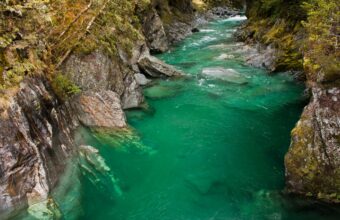
Begin this four to five day trip at the Blue Pools in the Makarora Valley beside SH6. Bridges cross the Makarora, Blue, Ore and Leven on a track that leads to the Young Valley after about 2.5 hrs.
An alternative more direct access exists, but it involves fording the Makarora River, which is really deceptive even when running clear, and has claimed many lives. It is much better to enjoy the spectacular Blue Pools along the way and remove the risk. Alternatively, a jet boat service from Makarora can help with both Young and Wilkin access.
From the Young Makarora confluence, follow the established Gillespie Pass circuit track up the Young Valley to the North South Forks, where another suspension bridge crosses the North Young. In a clearing here, surrounded by silver beech trees, there is an established campsite, and further up there is a 20 bunk hut. Both this hut and Siberia Hut need to be booked through the Department of Conservation website in the summer months.
Above here, the track continues to a gorgeous tussock basin surrounded by high rock walls, overseen by Mt Awful at 2,192 metres. It is wonderful country. In spring and summer alpine flowers fill the valley. In winter, major avalanches roar off the valley walls. Now a steep climb begins, easier to go up than down for most, leading onto the range a kilometre south of Gillespie Pass. Poles mark the route in the tussock. This is a steep spur in places, best done when it is dry and the winter snow has gone. The track now follows the tops for a while, with great mountain views including Mt Alba across the Siberia Valley. Alpine Crucible Lake nestles right under the east face of this peak and has a good track leading to it, an excellent day out.
Down in the Siberia valley, the trip follows grass flats to Siberia Hut, then later a benched track in silver beech forest down a gorge to forks with the Siberia and Wilkin Valleys. Here, you need an exit strategy. Meeting a prearranged jet boat, or negotiating from a weak position for a ride back out if the Wilkin Jetboat has room, or walking out down the track on the north bank are the options. But walking still carries the problem of fording the Makarora or the Young River to get back to the highway.
The upper Wilkin Valley is also a paradise of its own with some great day trips from Top Forks Hut, and is also well worth a trip. Major volunteer trapping programmes for predator control are underway throughout the whole area to help support our native birdlife.
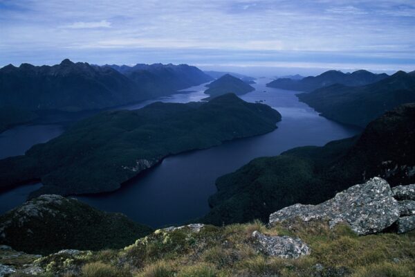
Here be dragons… This journey takes you into the wild West Coast, where the mountains are serious and the travel uncompromising. But the rewards are high too, with spectacular scenery, dense forest, schist bluffs, deep gorges and high tops.
Choose fine weather. This is not a trip to approach when the forecast is bad. The huts, mostly two to six bunk, are nicely spaced, but having some form of tent or fly will be very useful.
The route
Hokitika backcountry hike route – Geoff Spearpoint
The trip will take about five days, and begins in the lower Hokitika River along the lower Whitcombe Valley track. At Frews Creek it leaves the Whitcombe, and heads up over Frews Saddle into the very head of the upper Hokitika River.
The Main Divide at Mathias Pass is easy to reach on a side trip from here if you want. The marked route descends the upper Hokitika to forks with Mungo River, then heads up valley to Toaroha Saddle. The trip finishes with a descent of the whole Toaroha Valley to the road.
The Toaroha is particularly scenic, with slot gorges, upper flats near Top Toaroha Hut and at Cedar Flats lower down there is a good hot pool beside Wren Creek. The Department of Conservation describes this track in reverse in a useful online brochure, Toaroha, Hokitika, lower Whitcombe Track. More information can be found on the Remote Huts website.
One of the features of this trip is the opportunity to see rare native birds in their own habitat. Whio (Blue Duck) live in rapid streams and rivers, curious Kea, or mountain parrot, wheel and cry on the tops, and Tuke (Rock Wren) bob on boulders in the tussock.
The upper Hokitika River flows down an old glaciated tussock basin before plunging almost 500 metres in a distance of one kilometre to meet the Mungo River. Bluff Hut is well named and anchored to weathered old stable bedrock, with expansive views across to the Diedrichs Range. On the way down, you may notice rock crevasses cutting deeply into the hillside.
Snow sits on Main Divide peaks here all year, though by early autumn not much may be visible.
Need to know
This route is all tracked and major crossings bridged, but that doesn't mean it is easy, and getting through will leave a high sense of achievement. There is quite a bit of streambed travel in places, and being nimble on your feet amongst the boulders will help immensely.
Summer and autumn are the best times for this trip, when there is unlikely to be snow on the route, the weather is usually more stable, and stream levels are easier to negotiate. One thing to be aware of is that near the beginning of the trip there is a cable cage crossing of the Hokitika River near Rapid Creek Hut. This is fine for two or more people, and it is designed to be managed alone, but in practice this will be very difficult for some to manage alone. Travel with a friend or two.
The Lewis Pass area in Lake Sumner Forest Park is filled with attractive valleys and wonderful tussock tops, but the Nina River, flowing out towards Canterbury, is a standout for me.
Emerald river water, beech forest that reminds me of Fangorn in Lord of the Rings, and an easy introduction on a good track make this a great place to start a trip. From here, we head south, crossing two ranges and end up back on the Lewis Pass Road, about 15 kilometres from where we started, taking about four or five days.
Crossing the tussock ranges gives high, wide views and opportunities to explore the alpine flora. Celmisias, Edelweiss, and later in the season, gentians. Down in the valleys, grass flats, magnificent mature beech forest, and the occasional stunning gorge with deep pools offer places to swim and linger. But not too long, or the sandflies will come looking, looking, biting, biting...
The route
Nina Lewis circuit route map – Geoff Spearpoint
The first day we head up the Nina Valley to the tops and Devils Den biv (hut), but maybe take a tent as the biv only has two bunks and others may be there.
A marked route leads down Devilskin Stream into the Doubtful River. Upstream from here pick up the Kedron River track onto the Doubtful Range, where the second night will be in or around the Lake Man biv.
Leading down Pussy Stream, the track continues to the open Hope Valley. Here, there is a side trip that leads to Hot Spring Stream, where you can soak in a section of the creek, always a welcome extra on a tramping trip. Or you can head down valley, and follow the Hope Kiwi track out to the shelter beside the Lewis Pass Road at Windy Point.
Photo: Geoff Spearpoint
Need to know
For the Southern Alps this is mellow country, and there are tracks and huts along the route.
While this basic trip has lots of interest, there is ample opportunity to add another couple of days and visit Lake Sumner as well. For this, Hope Kiwi Lodge offers handy initial overnight accommodation, and from there a loop via the Hope Kiwi track and Lake Sumner shore, returning along the Three Mile Stream track back to the lodge over a couple of days, is a great option.
This is a rich tramping experience, a little different to the basic trip, where extensive Kowhai groves flower in early spring, and the red beech forest along the lakeshore is nothing short of stately.
In the Hurunui valley opposite Mackenzie Stream there is another hot spring just off the Harper Pass track, but this is a little out of the way for the loop. I’ve always found the return to Hope Kiwi Lodge along the Three Mile Stream track brimming with wonderful birdlife, parakeets, kaka, robins, tomtits, fantails, bellbirds, and many others. Then you are back at Hope Kiwi Lodge, ready to follow the Hope Kiwi track down the Hope Valley to the Windy Point carpark by SH7.
Distance: Approx. 20 km Duration: Six to seven hours Start: Stony Bay End: Fletcher Bay Difficulty: Easy to mild
This is a lovely coastal walkway which sees a fraction of the visitors hiking those better known coastal treks which are included among the Great Walks.
Starting in Stony Bay and finishing in Fletcher Bay, the 20 km hike reveals beautiful coastlines, sprawling farmland, and regenerating native forest. The track is undulating but not excessively challenging, suitable for those of moderate fitness levels. The walkway offers impressive views of the Great Barrier Island and the Pacific Ocean, with Poley Bay as a noteworthy highlight.
Distance: Approx. 10 km Duration: Three to four hours Start: White Horse Hill Campground End: Hooker Lake and return Difficulty: Easy
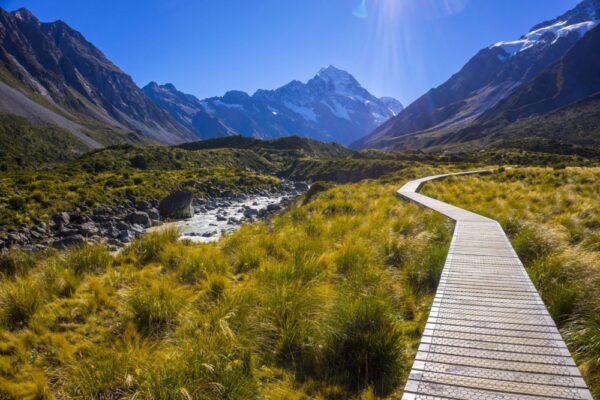
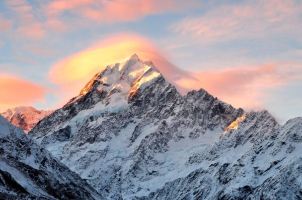
One of the most popular day hikes in NZ, leading into the heart of Aoraki/Mt Cook National Park, with jaw-dropping views of Aoraki/Mt Cook.Starting at the White Horse Hill Campground, near Aoraki/Mount Cook Village, the track winds through the beautiful Hooker Valley, ending at the stunning Hooker Lake, which offers views of Aoraki/Mount Cook, the highest mountain in New Zealand. This hike traverses a landscape filled with glacial moraines, alpine streams, and suspension bridges.And in summer, the track's highlight is the sight of icebergs on Hooker Lake.
Distance: Approx. 7 km Duration: Two to three hours Start: Rangitoto Wharf End: Summit of Rangitoto Island and return Difficulty: Easy to mild
It’s simple: if you’re in Auckland, go for a hike on Rangitoto Island – I mean it’s not every day you get to go for an easy hike on a volcano. Unquestionably my favourite day out from Auckland (along with the West Coast beaches).
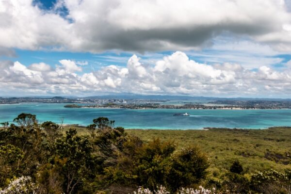
Starting from Rangitoto Wharf, after a ferry ride from Auckland, the trek ends at the summit of Rangitoto Island, which provides spectacular 360-degree views of Auckland and the Hauraki Gulf. The trail is well marked and gradually ascends through lava fields and the world's largest pohutukawa forest.
Although the trek is generally easy, some sections can be moderate due to the steep ascent. The island has no accommodation, making this a perfect day trip. The highlight is definitely the volcanic scenery and the magnificent view from the summit.
Distance: Approx. 60 km Duration: Five days Start: Kepler Track Car Park (near Te Anau) End: Rainbow Reach (with an optional return to Kepler Track Car Park) Difficulty: Moderate
This beautiful five-day trek takes in a wealth of fantastic Fiordland scenery, and unlike many hiking routes which are based on historic tracks used by the Maori or forestry and hunting tracks, the Kepler was created specifically as a hiking trail in the late 1980s.The trail starts from the Kepler Track Car Park, just outside of Te Anau, and officially ends at Rainbow Reach, with an option to return to the starting point to complete a full loop.One of the highlights is the breathtaking panoramic view from Kepler Ridge, showcasing the surrounding mountains, valleys, and lakes. Accommodation along the trail is a mixture of huts and campsites managed by the Department of Conservation.
Distance: Approx. 32 km Duration: Three to four days Start: Routeburn Shelter (near Glenorchy) End: The Divide (near Te Anau) Difficulty: Moderate
One of New Zealand’s most popular treks, the Routebourn crams in some of the best views in Fjordland National Park and Mt Aspiring National Park into an unforgettable three days.
The route starts at the Routeburn Shelter, close to Glenorchy, and ends at The Divide, near Te Anau. You pass through a variety of landscapes, from wildflower meadows to alpine valleys, enjoying incredible vistas over Mt Aspiring National Park.
One of the trek's highlights is the panoramic view from the Harris Saddle and Conical Hill - on a clear day, views stretch as far as the Tasman Sea. Accommodation on the track is in the form of comfortable huts managed by the Department of Conservation, and camping is also an option at designated sites.
Distance: Approx. 84 km Duration: Eight to ten days Start: Hauroko Burn HutEnd: Wilmot Burn HutDifficulty: Strenuous
The classic Dusky Track takes you on an eight to ten-day trek around Dusky Sound, New Zealand's deepest lake. It is not for the faint-hearted and requires careful planning to avoid flooding that frequently blocks entire trail sections. It isn't nicknamed 'New Zealand's hardest hike' for nothing; you'll need to take a boat ride just to reach the starting point.
The Dusky Track terrain is rough and muddy. You hike up Pleasant Range before dropping down to Loch Maree, and you'll get plenty of tarn and mountain views. Huts are dotted along the route, on a first come first serve basis.
Distance: Approx. 54 km Duration: Four days Start: Glade Wharf (Te Anau Lake) End: Sandfly Point (Milford Sound) Difficulty: Moderate
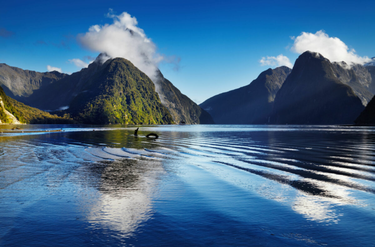
New Zealand’s most famous walk is a four-day trek into the heart of Fjordland’s most stupendously beautiful scenery. Often described as one of the world’s most beautiful hikes, it is (deservedly) popular and limited spaces sell out within minutes.
Distance: Approx. 60 km Duration: Three to five days Start: Marahau End: Wainui or Totaranui Difficulty: Mild
Five days of magnificent coastal scenery in the stunning Nelson Tasman region – what’s not to like?
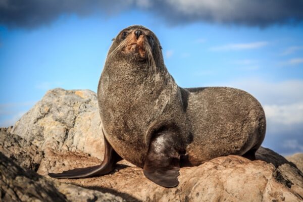
The Abel Tasman Coastal Track is an enchanting coastal trek through forests, beaches, and granite cliffs. The route stretches around 60 km and usually takes three to five days to complete, starting at Marahau and finishing in Wainui or Totaranui.You'll see Cleopatra's Pool, a natural rock pool, and enjoy views over Tasman Bay. You might even spot seals basking on the rocks at Tonga Island.
The Abel Tasman Coastal Track can be hiked year-round with its well-marked trails. However, it's best enjoyed in the summer when you can enjoy the beachside setting.
Accommodation includes both campsites and huts managed by the Department of Conservation, and due to its popularity, early booking is recommended.
Distance: Approx. 45 km Duration: Three to four days Start/End: Whakapapa Village Difficulty: Moderate to challenging
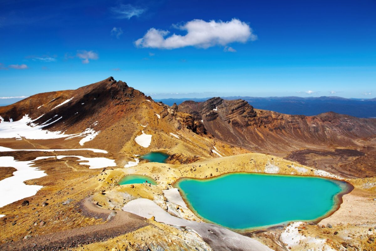
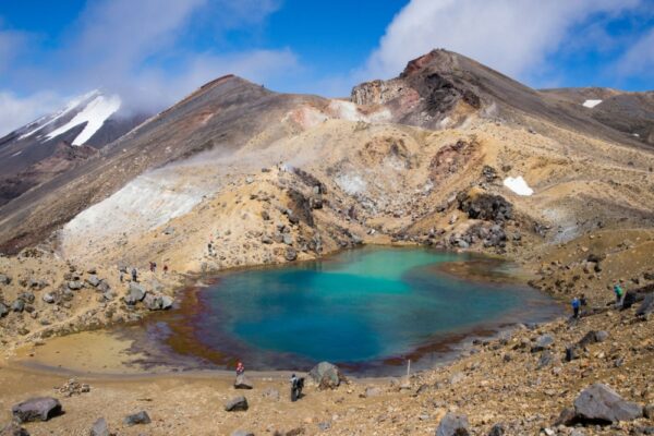
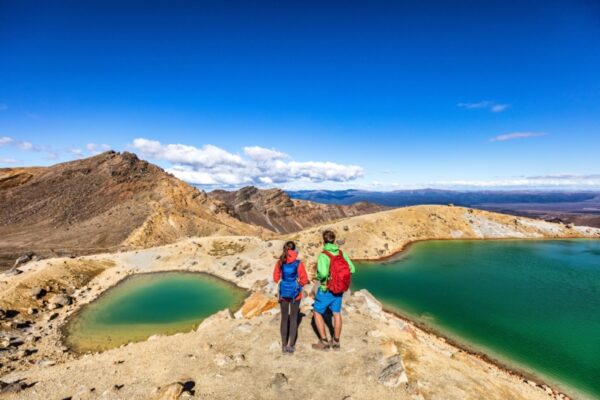
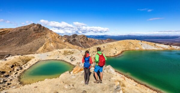
Tongariro National Park, on New Zealand's North Island, boasts magnificent volcanic scenery which at time makes you feel as though you’re on the moon, or on Mars, or perhaps in Mordor.
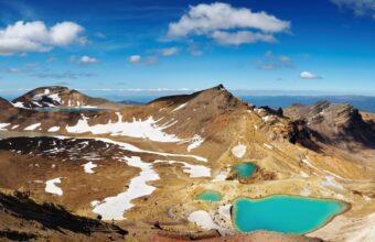
The Tongariro Northern Circuit takes you on a loop around the active volcano Mt. Tongariro. This trek typically takes three to four days to complete, beginning and ending at Whakapapa Village.The terrain is varied and dramatic, featuring volcanic landscapes, glacial valleys, ancient lava flows, steam vents, and the brilliantly coloured Emerald Lakes. The trek also includes the world-renowned Tongariro Alpine Crossing, often touted as one of the best day hikes in the world.Accommodation is in huts maintained by the Department of Conservation, and bookings are essential during the peak season.
Best trek for: Alpine and Fjords SceneryDifficulty: MildTrek duration: Four daysMax. elevation: 1,154mAccommodation: HutsStart/end point: Glade Wharf to Sandfly Point
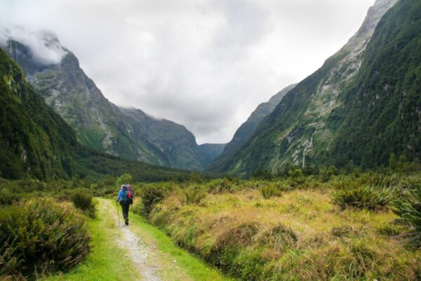
One of New Zealand's ten official 'Great Walks', the Milford Track is a spectacular alpine and fjord trail which has been thrilling hikers for decades. This hike will certainly hit the spot if you love trails with a variety of scenery.
There is no shortage of breathtaking views along the 54 km track: deep valleys, mountain passes, stunning glaciers and New Zealand's highest waterfall, Sutherland Falls, with a total drop of 580 metres.
Need to know
The number of trekkers allowed on the Milford Trek is tightly regulated: you must book in advance, and spaces often sell out within minutes of going on sale. Camping is not permitted along the track, with a mandatory requirement to stay in each of the three huts along the trail. These must be booked in advance and you can not walk the route in the opposite direction.
You can hike the trail independently but you must bring all your supplies, including food, cooking equipment and other essentials for your four-day hike.
The 72km long Queen Charlotte Track is a great way to explore the Marlborough Sounds. You can hike or bike the trail, passing through lush forest, hidden bays and empty beaches.
Take the easy one-hour trail from Spa Park to Huka Falls to witness the roaring Waikato Ricer plunge 11 metres over volcanic rock. The trail passes through forest and offers several viewing points of the Falls.
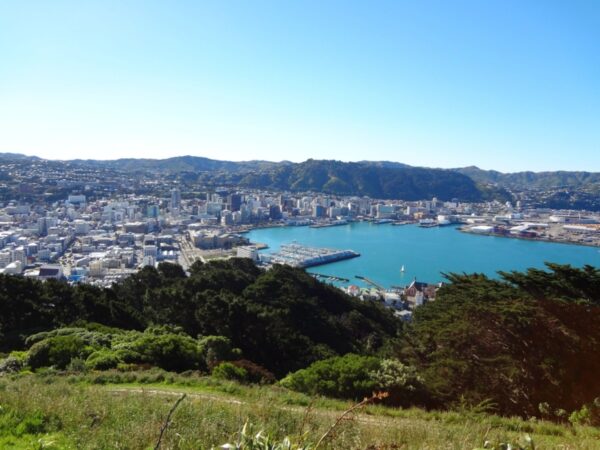
Venture to the top of Mount Victoria and you’ll be rewarded with sweeping views of New Zealand’s capital, Wellington. The Mount Victoria Lookout is a relatively easy walk from the city centre, along woodland trails that were used in The Lord of the Rings.
Go on a day-hike across the eery volcanic landscape of the Tongariro Alpine Crossing. Sprinkled with emerald lakes and soda springs, the 21km trail, which takes around seven hours to complete, winds around active volcanoes and features panoramic views across the harsh rocky terrain.
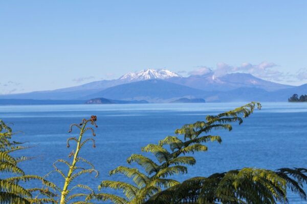
Enjoy a relaxing paddle in the crystal clear waters of Lake Taupo and explore the mysterious Maori rock carvings at Mine Bay, which can only be viewed from the water. The surrounding forests are also great for hiking and just north of Taupo you'll find the spectacular Huka Falls.
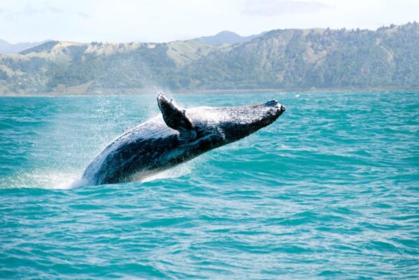
Fly into cosmopolitan Auckland to begin your New Zealand trip, before heading south past Hamilton to Lake Taupo, where you’ll stay for three days. From here, you can drive a couple of hours to Waitomo Caves, where you can take a candlelit tour through Footwhistle Cave seeing thousands of glowworms. Spend a day exploring the hiking trails around Lake Taupo or kayak to the Mine Bay Maori rock carvings, and another seeing the magnificent Huka Falls. Fly from Taupo to Blenheim, then transfer to Marlborough Sounds for a couple of days. Hike or bike part of the Queen Charlotte Track, a 71km trail through glistening bays, forests and coves, and spend a second day on the water in a kayak, where you can see seals, dolphins and even orcas. Transfer to the small town of Kaikoura for whale-watching, hikes up Mount Fyffe and New Zealand’s best seafood, before ending in adventure capital Queenstown, where you can take a day trip to Milford Sound for a cruise through its unspoilt valleys.
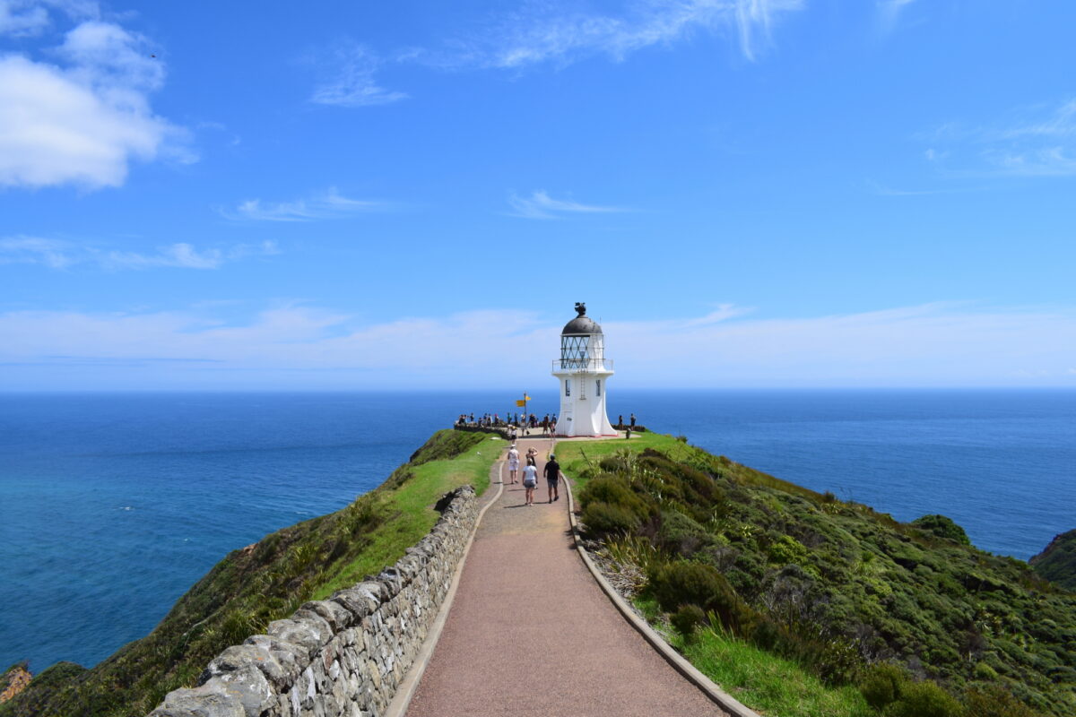
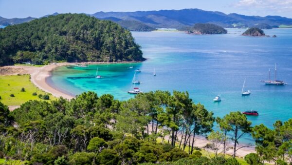
Start in Auckland’s bars, restaurants and cafes before travelling north to the sub-tropical Bay of Islands. Board a boat to cruise around the islands, snorkelling in the deep blue water, walking deserted beaches and exploring ancient Maori site, including Cape Reinga, where Maoris believe dead spirits come to rest. Fly to Christchurch on the south island and transfer to Hokitika on New Zealand’s wild west coast. Hike the West Coast Treetop Walk through ancient rainforest to the sound of birdsong, stargaze at night and visit Hokitika Gorge. Next, get adventurous in Queenstown by taking a helicopter tour over the city to Milford Sound for a cruise around waterfalls and rainforests. End your trip with the quintessential Queenstown experience – a bungy jump.
Fly into New Zealand’s south island at Christchurch before transferring to Queenstown and heading to the beautiful fjord of Milford Sound, where you can cruise around waterfalls and bays filled with seals and the occasional dolphin. See penguins at Martins Bay and visit the township of Te Anau, before travelling to Stewart Island, where you can dive, kayak or fish. Sail to nearby Ulva Island for a tour of its incredible birdlife and spend a day birdwatching at Port William, where you can see penguins, parakeets, cuckoo and many more. Transfer to Dunedin for a leisurely day exploring the city, before travelling into the Otago Peninsula to see yellow-eyed penguins, fur seals and albatross. Head up to Kaikoura for whale-watching and then Nelson for more birding at Farewell Spit Nature Reserve, before heading back to Christchurch for your departure.
Start in Auckland on the north island with a world-class cup of coffee and pick up your vehicle, before taking the short ferry journey across to Waiheke Island for sea views and excellent wine. Drive to the vast Lake Taupo, created more than 2,000 years ago from a volcanic eruption, to experience the fury of the Huka Falls and to see the eerie glowworms at the Waitomo Caves, before stopping for a few days in wine country, beginning at Hawke’s Bay. Hire a bike, pedal to a few vineyards and sample some wines. Fly from Napier to Christchurch on the south island and hire another vehicle, before heading inland to Arthur’s Pass National Park for a stunning drive taking in winding roads, river gorges and rainforests. Drive to Aoraki Mount Cook National Park for a once-in-a-lifetime helicopter ride to the Tasman Glacier, before heading back to city life in adventure capital Queenstown for bungy jumping, ziplining or just relaxing on the beach.
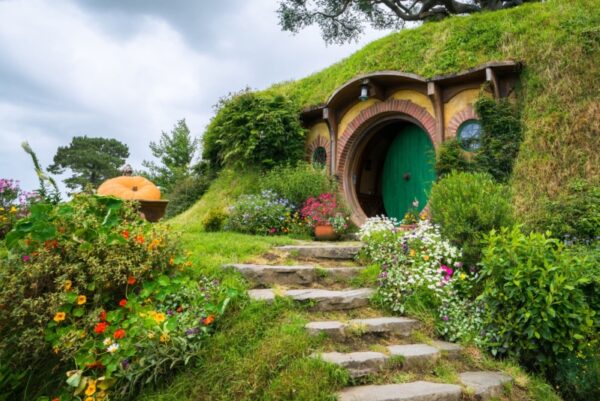
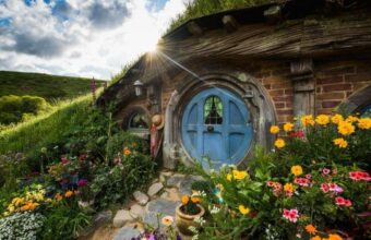
Start in Auckland and begin your Lord of the Rings adventure by travelling to Rotarua where you can explore Maori culture and sulphuric geysers, before touring the Hobbiton Movie Set. Head to Lake Taupo to see the amazing Huka Falls before travelling into Tongariro National Park, location for Mordor and Mount Doom. Transfer to Wellington for a taste of city life – and a visit to the Weta Workshop – before a whistlestop tour through New Zealand’s south island, including the scenery in Nelson, a helicopter tour from Kaikoura over locations for Rivendell and Mines of Moria, Lake Heron for a stay in a sheep station and Lake Tekapo for kayaking, hot springs and stargazing – and the location for Edoras. Travel to Queenstown where you can tour locations used for Minas Tirith, the Misty Mountains and Isengard. Cruise on Milford Sound to see dolphins and penguins, before ending back in Queenstown for adventure activities like bungy jumping and ziplining.
Start your trip in New Zealand’s biggest city Auckland with a trip to the Sky Tower for views over the city. From here, it’s a short journey to the Coromandel and on to Raglan for a mix of pristine beaches and secluded coves, where you can sea kayak, swim or simply explore. Next, visit the hot springs and sulphuric mud pools of Rotorua, taking in Maori culture and food, before travelling to the vast Lake Taupo for the Huka Waterfalls and Maori rock carvings. This is also an excellent base for exploring Tongariro National Park. End your North Island trip in cultured Wellington, home to excellent craft beer and coffee.
Your details are safe and will not be used for any other purpose. By using this service you agree for us to share your details with your chosen tour operator according to our Privacy Policy.