The best walking holidays in Scotland
An expert guide to the best walking holidays in Scotland
I've hiked all over the world, but for walking, I find Scotland hard to beat. A walking holiday in Scotland, possibly more so than in the rest of the UK, offers a great variety of terrain from delightful coastal routes to long trails that traverse a big chunk of the country with character-filled overnight stops.
Relatively speaking, Scotland isn’t a big country; transposed over a map of the US it’d be considered a small state, roughly the same size as South Carolina. But when you’re actually here, in the midst of its gargantuan landscapes and with not another human for miles around, it certainly doesn’t feel small. On a human scale—and what else really matters?—this place is vast.
And despite being just 25 miles wide at its narrowest point (and only 154 miles at its widest!) Scotland’s diversity of scenery and landscapes can be astounding. From tranquil lochs to towering munros (Scottish mountains over 3,000 feet), forested glens and yawning moors, from craggy coastlines to fertile farmland to great cities and what remains of a proud industrial history; Scotland provides a backdrop for every flavour of hiking and walking holiday.
The drama of the scenery is matched by the unpredictability of the elements, but that only adds to the ultimate reward. There are no rain days in Scotland. Come prepared to experience four seasons in a day and you’ll be fine—especially with the lure of a good meal and a dram of whisky to warm you at the end of a long day’s walk.
Ready to go? Here are some of my top recommended walking holidays in Scotland.
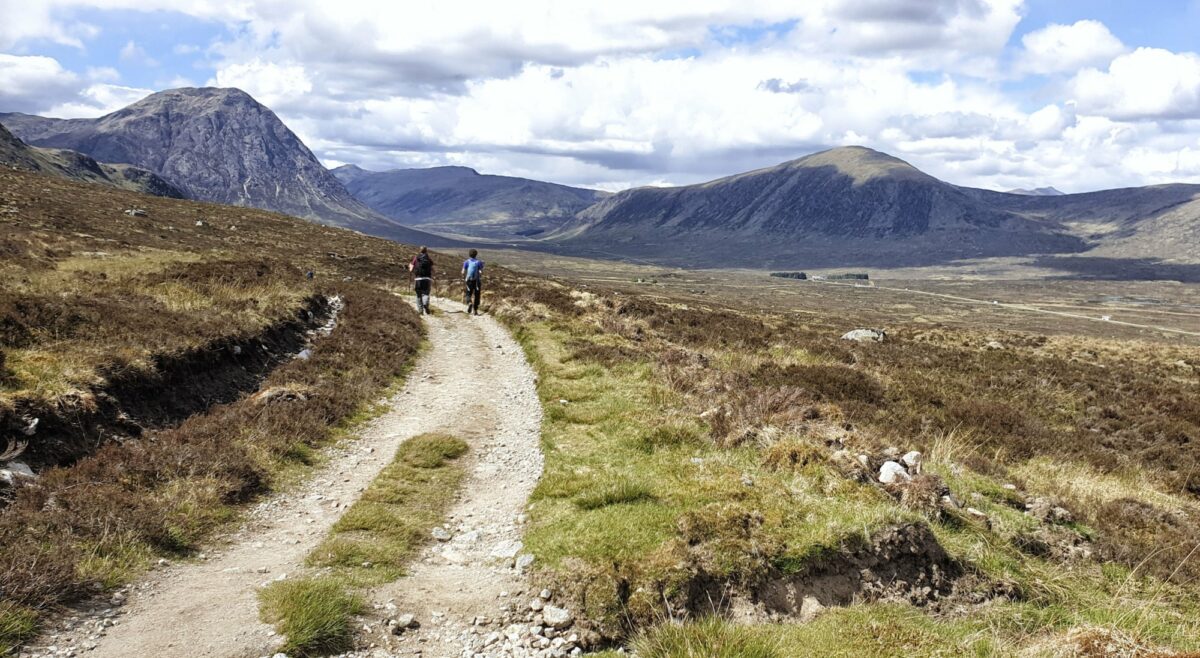
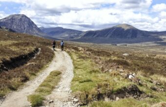
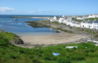
The West Highland Way, possibly Scotland's most popular walking trail
The best walking holidays in Scotland
Popular routes & hidden gems
-
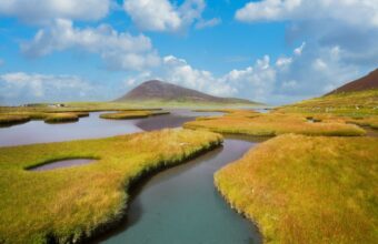
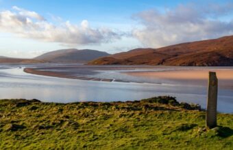
The Hebridean Way
-

The John Muir Way
-

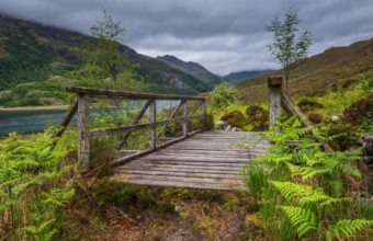
Knoydart Peninsula
-

The Great Glen Way
-

The East Highland Way
-

The West Highland Way
-

The Northern Isles
-

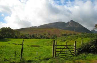
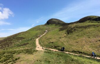
Cairngorms National Park
-

The Rob Roy Way
-

The Speyside Way
-

St Ninian's Way
-
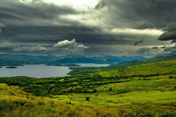
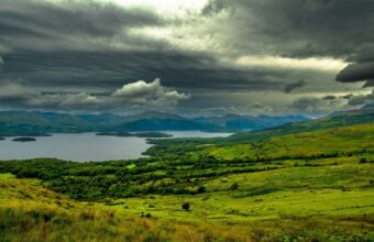
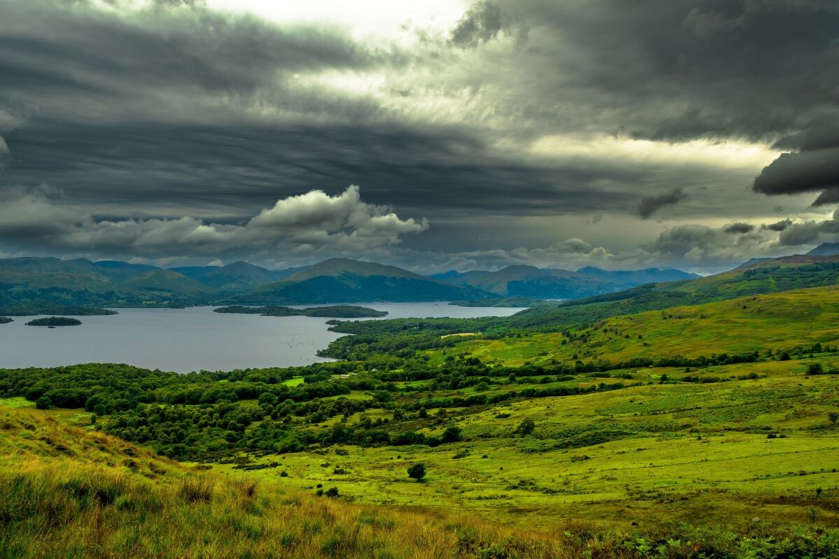
Loch Lomond & the Trossachs
-

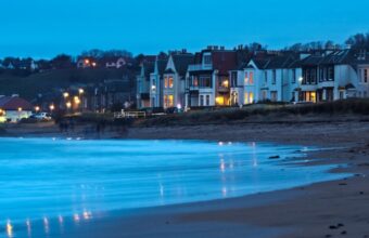
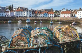
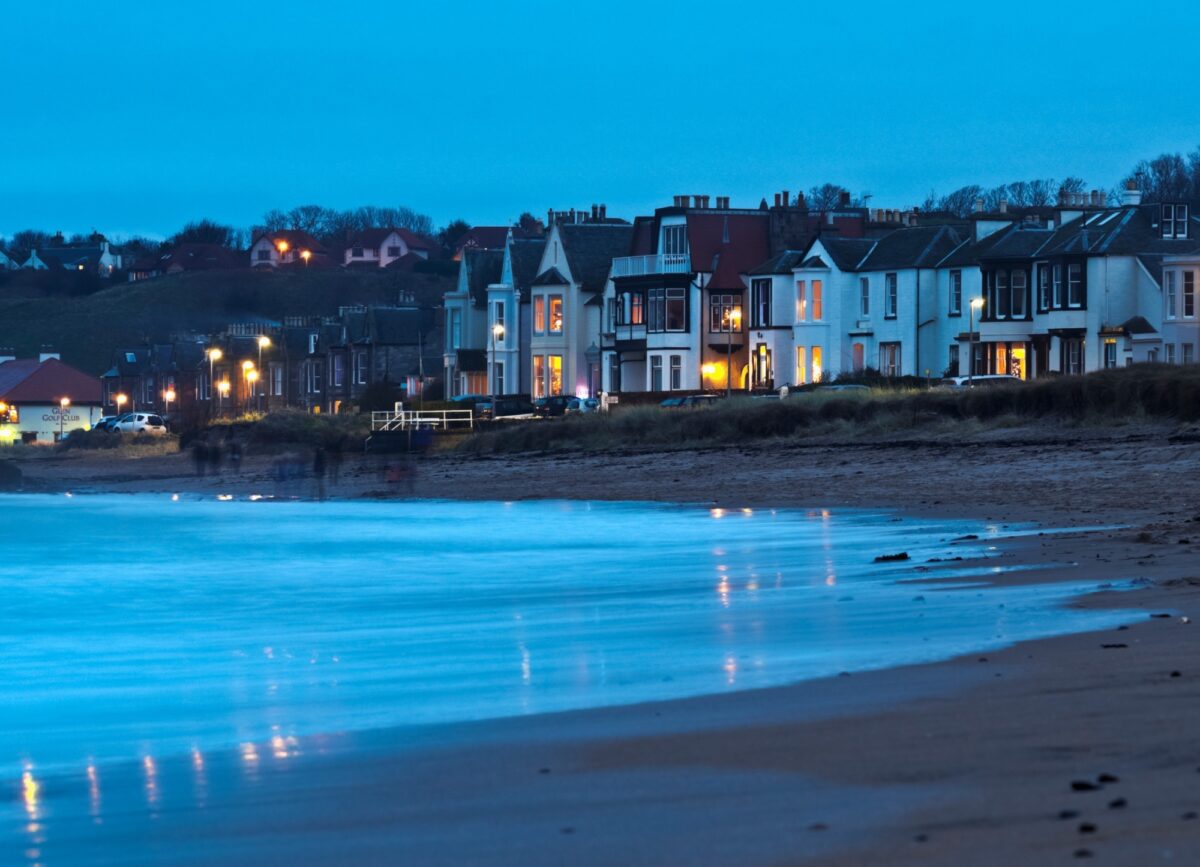
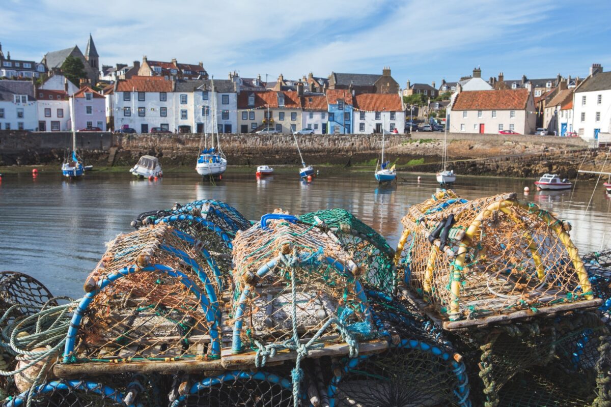
Fife Coastal Path
-

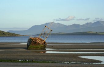
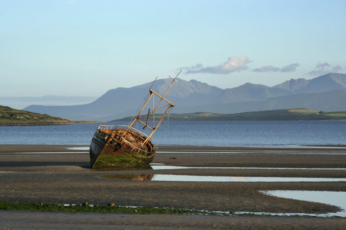
Arran Coastal Way
-

West Island Way
-

The Kintyre Way
-

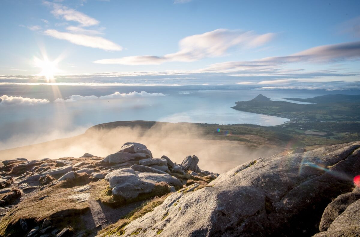
The Cape Wrath Trail
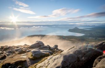
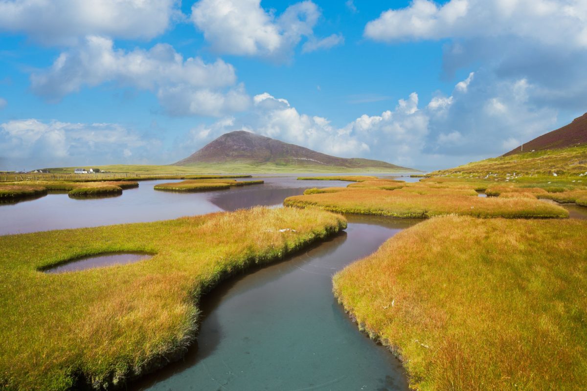

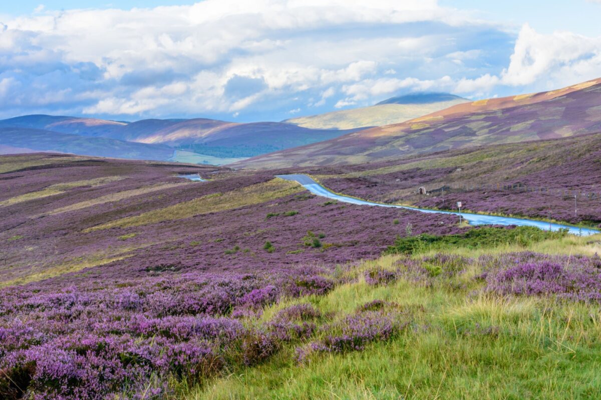
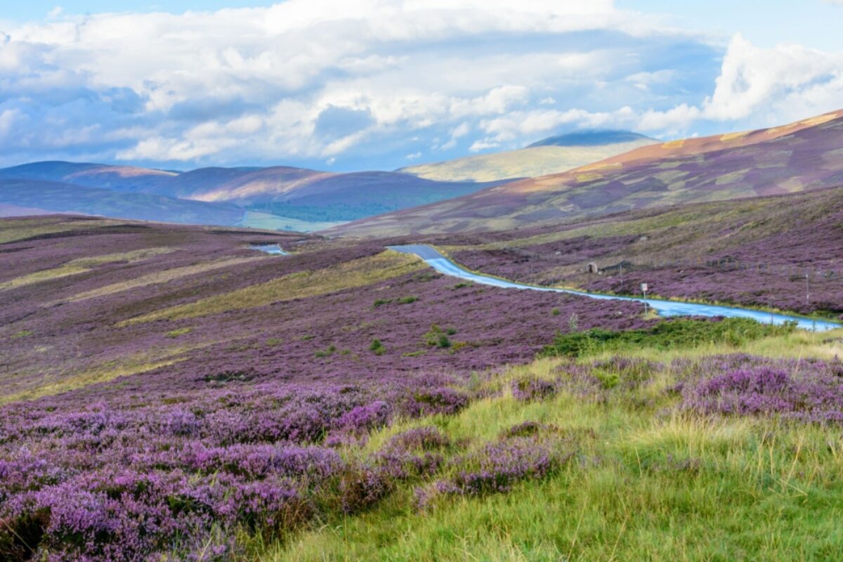
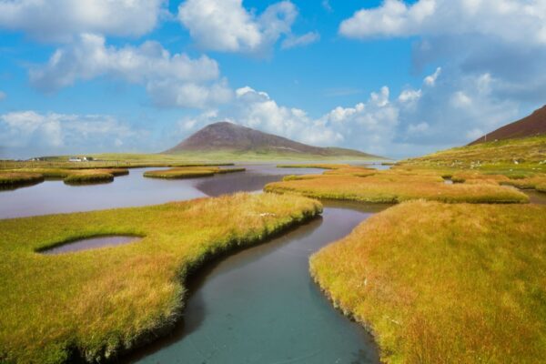
Heather-clad hills in Cairngorms National Park, one of Scotland's top walking destinations
featured walking holidays
featured walking holidays
Clyde Islands & Inner Hebrides Walking
Self-guided walk of the Scottish Islands
3 daysFrom £220Walking holidays in Scotland: Need to know
Everything you wish you'd known before you booked
If you started with a blank sheet and listed all the things you’d want in an ideal walking holiday destination, you’d end up with a list that sounds very much like Scotland. Varied scenery? Check. Accessible? Check. Top-notch hospitality? Double check. From expeditions in the Highland wilderness to relaxed island hopping & whisky tasting trips down the west coast, there is truly a walking holiday for everyone in Scotland.
Okay, it’s not all unalloyed positives. The weather can flit from Jekyll and Hyde and back again in the space of hours, and the midges can be a torment depending on location and time of year. Scotland’s many charms make it popular in summer and places can easily book up, although walking trails are rarely truly crowded. But come prepared and it’ll all be part of the fun. After all, too perfect would be boring! Scotland is just close enough.
Weather & conditions
Fair-weather walkers look away now! It is in the raw, wild elements that the character of the Scottish landscape truly reveals itself. The scenery can be more dramatic in the wind and rain, but it can of course make the hiking more challenging. Approach a walking holiday prepared for a dreich (Scots for damp and bleak) forecast, and the dry, sunny days will become a pleasant surprise rather than a make-or-break.
Despite its small size, Scotland’s weather varies wildly from one area to another. Rainfall is generally heaviest on the west coast where places like Arrochar, wedged between the banks of Loch Long and the Arrochar Alps, average 1360 mm of rain a year—about double that of St. Andrews on the east coast.
Yes, it does rain a lot—and snow too, in the hills—but Scotland’s is a temperate climate, with average temperatures ranging from 4 degrees Celsius in winter to 20 degrees in summer. While temperatures fluctuate mildly, the jump in daylight is head-spinning: from just six hours of daylight in December to 18 hours in June at the country’s most northerly latitudes.
When to go walking in Scotland
Like the rest of the UK, the main tourism season runs March to October. The high summer months is your best bet for sunnier weather, though this is generally when the midge (a small, biting fly) is most prevalent in the west of Scotland. They often come out on still, overcast days, and bother you most while you’re at rest.
Partly because of the midges’ reputation and partly in avoidance of peak summer crowds, May and September are good walking months in Scotland. This can mean booked-up accommodation and busy trails on some of the most popular routes.
The shoulder seasons of March/April and October can be wonderful times to walk in Scotland, though keep in mind that the weather will be colder with more chance of rain. Those walking long distances will also need to factor in limited daylight hours.
If you go anywhere near Edinburgh in August, prepare to be swept up in the spirit and the crowds of the Edinburgh Fringe Festival, the world’s largest arts festival. Accommodation books out far in advance and can be quite expensive.
You’ll find Highland games events in rural towns, villages and estates from May to September. They’re typically weekend-long events and you can pay a small entrance fee on arrival. Popular fixtures include the caber toss, tug-o-war, hammer throw and plenty of kilts.
Can you walk anywhere in Scotland?
Scotland’s “freedom to roam” is an ancient right that has been underpinned in law. Unlike in England where access must be specifically granted, the Scottish law grants access to most rural land, privately-owned or not, for recreational purposes including walking and camping. Some important exceptions include farmland in cultivation, private gardens, sports fields and other common sense exclusions like military sites and paid visitor attractions.
It’s important to take note of signs on gates or stiles that may give important instructions, especially when livestock are grazing or in hunting season. Read more about the Outdoor Access Code.
Walking accommodation in Scotland
Scottish hospitality is legendary and there are many excellent independently-owned accommodations: B&Bs, self-catering cottages, walkers’ hotels, hostels, huts and bothies. In walking areas accommodations are generally well equipped for walkers, offering unbeatable local knowledge, baggage transfer services, along with drying rooms, packed lunches, and hearty cooked breakfasts to fuel your mileage the following day.
More venturesome hikers might consider a self-supported trek between some of the UK’s ninety bothies; very basic but free-to-use mountain shelters run by the Mountain Bothies Association (MBA). Bothies are marked on Ordnance Survey (OS) maps and their locations are listed on the MBA website
Getting around Scotland
Scotland has a good public transport network, and, with a few exceptions, most regions of the country can be accessed by train (Scotrail) and/or bus (Citylink). The main hubs of Glasgow, Edinburgh, Inverness and Aberdeen each have an airport servicing national and international flights, with car rentals or train and bus connections available to transport you easily from city to countryside.
For access to the islands, Caledonian MacBrayne (CalMac) and Northlink (Shetland and Orkney) are Scotland’s main ferry operators, and tickets should be purchased in advance if you plan to take a car on board.
LoganAir provides access to many remote areas of the Highlands and Islands from departure points throughout the UK.
Driving is by far the easiest way to reach the country’s more remote regions. Many rural roads are single-track, and understanding the etiquette of passing is both considerate and a safety essential. Take care to share the road with the many cyclists.
Scotland walker's packing essentials
For any walking trip in Scotland, you’ll need decent waterproofs (trousers, jacket, backpack cover), durable and worn-in walking boots (walking shoes can be used on gentler-gradient, well-distinguished coastal paths), hats and gloves. Also recommended is a midge net for your head, bug spray, and, for the damp shoulder seasons, a few pairs of good-quality wool socks to protect your toes from chilblains.
Further reading
For more information see the Scotland’s Great Trails website.